Bouddi Area, Bouddi Postcode(2251) & Map in Bouddi, Central Coast, NSW
Bouddi Area, Bouddi Postcode(2251) & Map in Bouddi, Central Coast, NSW, AU, Postcode: 2251
Bouddi, Box Head - MacMasters Beach, Gosford, Central Coast, New South Wales, Australia, 2251
Bouddi Postcode
Area Name
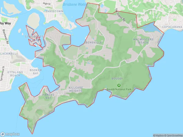
BouddiBouddi Suburb Area Map (Polygon)

Bouddi Introduction
Bouddi National Park is a coastal national park located on the Central Coast of New South Wales, Australia. It is known for its stunning beaches, rugged coastline, and diverse marine life. The park is home to a number of endangered species, including the dugong, which is the only marine mammal that feeds exclusively on seagrass. Visitors can enjoy hiking, camping, and fishing in the park, and there are also several walking trails and picnic areas.State Name
City or Big Region
District or Regional Area
Suburb Name
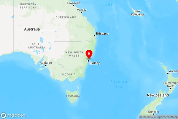
Bouddi Region Map

Country
Main Region in AU
R3Coordinates
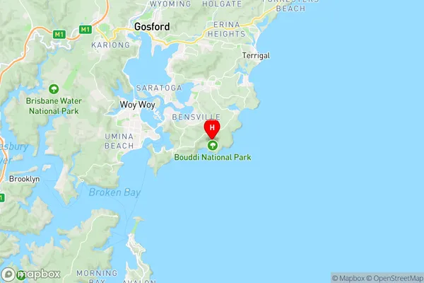
-33.518,151.4 (latitude/longitude)Bouddi Area Map (Street)

Longitude
151.401999Latitude
-33.482209Bouddi Elevation
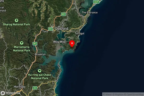
about 61.85 meters height above sea level (Altitude)Bouddi Suburb Map (Satellite)

Distances
The distance from Bouddi, Central Coast, NSW to AU Greater Capital CitiesSA1 Code 2011
10201102920SA1 Code 2016
10201102920SA2 Code
102011029SA3 Code
10201SA4 Code
102RA 2011
1RA 2016
1MMM 2015
1MMM 2019
1Charge Zone
N1LGA Region
Central CoastLGA Code
11650Electorate
Robertson