St Huberts Island Area, St Huberts Island Postcode(2257) & Map in St Huberts Island, Central Coast, NSW
St Huberts Island Area, St Huberts Island Postcode(2257) & Map in St Huberts Island, Central Coast, NSW, AU, Postcode: 2257
St Huberts Island, Box Head - MacMasters Beach, Gosford, Central Coast, New South Wales, Australia, 2257
St Huberts Island Postcode
Area Name
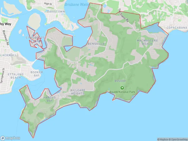
St Huberts IslandSt Huberts Island Suburb Area Map (Polygon)

St Huberts Island Introduction
St Huberts Island is a small island located off the coast of Central Coast, New South Wales, Australia. It is known for its beautiful beaches, crystal-clear waters, and diverse marine life. The island is a popular destination for snorkeling, diving, and fishing, and is home to a variety of bird species. It is also a protected area, with many areas of the island designated as national parks and wildlife reserves.State Name
City or Big Region
District or Regional Area
Suburb Name
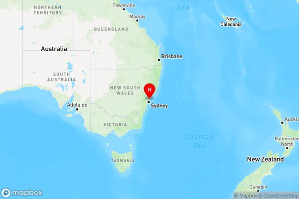
St Huberts Island Region Map

Country
Main Region in AU
R3Coordinates
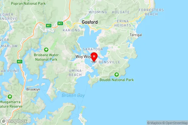
-33.499,151.351 (latitude/longitude)St Huberts Island Area Map (Street)

Longitude
151.374403Latitude
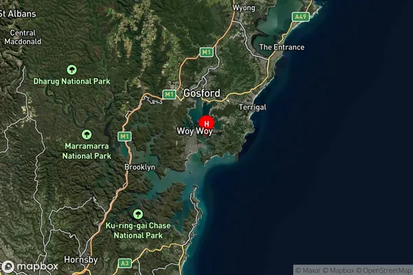
-33.520358St Huberts Island Suburb Map (Satellite)

Distances
The distance from St Huberts Island, Central Coast, NSW to AU Greater Capital CitiesSA1 Code 2011
10201102909SA1 Code 2016
10201102909SA2 Code
102011029SA3 Code
10201SA4 Code
102RA 2011
1RA 2016
1MMM 2015
1MMM 2019
1Charge Zone
N1LGA Region
Northern BeachesLGA Code
15990Electorate
Robertson