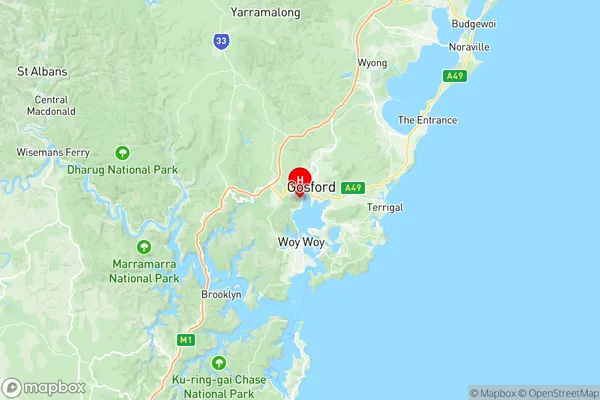
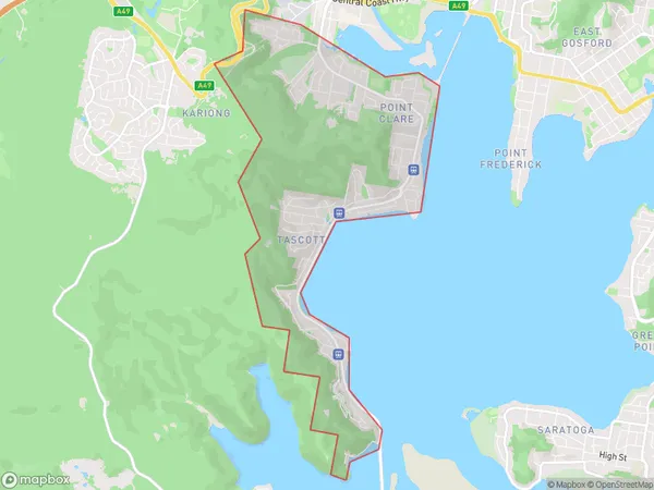
Point Clare Koolewong Suburbs & Region, Point Clare Koolewong Map & Postcodes
Point Clare Koolewong Suburbs & Region, Point Clare Koolewong Map & Postcodes in Point Clare Koolewong, Gosford, Central Coast, NSW, AU
Point Clare Koolewong Region
Region Name
Point Clare Koolewong (NSW, AU)Point Clare Koolewong Area
6.78 square kilometers (6.78 ㎢)Postal Codes
2250, and 2256 (In total, there are 2 postcodes in Point Clare Koolewong.)Point Clare Koolewong Introduction
Point Clare Koolewong is a suburb located on the Central Coast of New South Wales, Australia. It is situated between the cities of Gosford and Woy Woy and is part of the Macarthur Region. The suburb is named after the Koolewong River, which flows through it. Point Clare is known for its beautiful beaches, including Clareville Beach and Berrima Beach. It also has a variety of parks and recreational facilities, including a golf course, cricket club, and tennis courts. The suburb has a population of around 12,000 people and is a popular destination for tourists and locals alike.Australia State
City or Big Region
Greater Capital City
Greater Sydney (1GSYD)District or Regional Area
Suburb Name
Point Clare Koolewong Region Map

Point Clare Koolewong Postcodes / Zip Codes
Point Clare Koolewong Suburbs
Point Clare Koolewong full address
Point Clare Koolewong, Gosford, Central Coast, New South Wales, NSW, Australia, SaCode: 102011037Country
Point Clare Koolewong, Gosford, Central Coast, New South Wales, NSW, Australia, SaCode: 102011037
Point Clare Koolewong Suburbs & Region, Point Clare Koolewong Map & Postcodes has 0 areas or regions above, and there are 3 Point Clare Koolewong suburbs below. The sa2code for the Point Clare Koolewong region is 102011037. Its latitude and longitude coordinates are -33.44,151.326. Point Clare Koolewong area belongs to Australia's greater capital city Greater Sydney.
Point Clare Koolewong Suburbs & Localities
1. Point Clare
2. Tascott
3. Koolewong
