Otane Suburbs & Region, Otane Map & Postcodes in Otane, Central Hawkes Bay, Hawkes Bay
Otane Postcodes, Otane ZipCodes, Otane , Otane Hawke's Bay, Otane Suburbs, Otane Region, Otane Map, Otane Area
Otane Region (Patangata, Pukehou Region)
Otane Suburbs
Otane is a city place type in Central Hawkes Bay, Hawkes Bay, NZ. It contains 4 suburbs or localities.Otane district
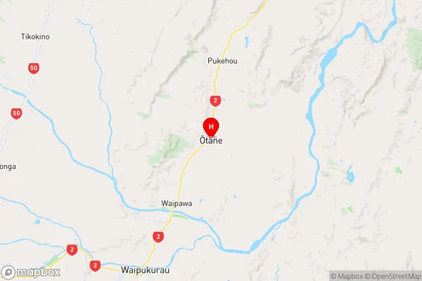
Central Hawkes BayOtane Region Map
Otane Introduction
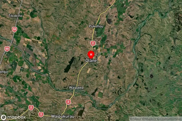
Otane is a small rural community in the Hawke's Bay region of New Zealand. It is located on State Highway 2, approximately 25 kilometers southeast of Hastings. The area is known for its scenic countryside, with rolling hills, farms, and vineyards. Otane has a population of around 100 people and is home to a primary school, a church, and a small convenience store. The community is surrounded by beautiful natural attractions, including the Waipawa River, the Tuki Tuki Range, and the Cape Kidnappers National Park.Otane Region
Otane Satellite Map
Full Address
Otane, Central Hawkes Bay, Hawkes BayOtane Coordinates
-39.894027,176.62473 (Latitude / Longitude)Otane Map in NZ
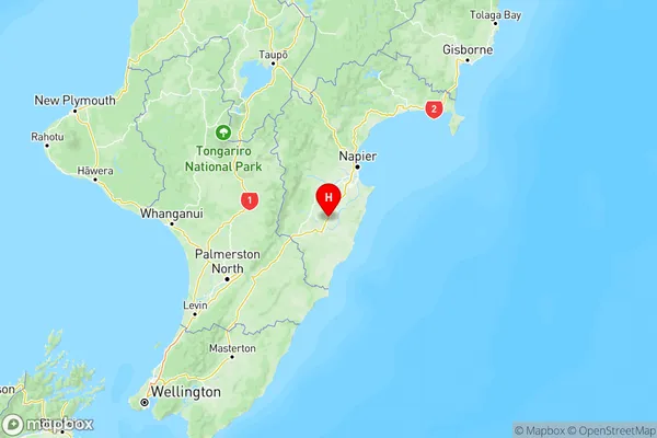
NZ Island
North IslandCountry
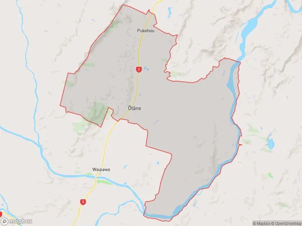
Otane Area Map (Polygon)
Name
OtaneAdditional Name
Patangata, PukehouLocal Authority
Central Hawke's Bay District