Argyll Area, Argyll Postcode(4273) & Map in Argyll
Argyll Area, Argyll Postcode(4273) & Map in Argyll, Central Hawke's Bay District, New Zealand
Argyll, Central Hawke's Bay District, New Zealand
Argyll Postcodes
Argyll Area (estimated)
61.2 square kilometersArgyll Population (estimated)
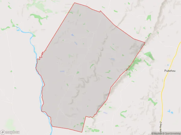
83 people live in Argyll, Hawke's Bay, NZArgyll Suburb Area Map (Polygon)
Argyll Introduction
Argyll, Otane, Hawke's Bay, New Zealand, is a rural area with a population of around 1,000 people. It is located in the Hawke's Bay region and is known for its scenic countryside, farming, and wine production. The area has a rich history, with several historic buildings and sites, including the Argyll Castle and the Otane Settlers Museum.Region
Major City
Suburb Name
ArgyllOther Name(s)
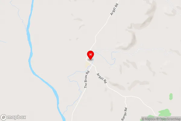
Argyll EastArgyll Area Map (Street)
Local Authority
Central Hawke's Bay DistrictFull Address
Argyll, Central Hawke's Bay District, New ZealandAddress Type
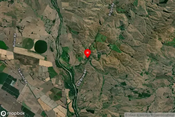
Locality in Town OtaneArgyll Suburb Map (Satellite)
Country
Main Region in AU
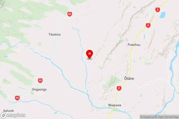
Hawke's BayArgyll Region Map
Coordinates
-39.8604433,176.5334503 (latitude/longitude)Distances
The distance from Argyll, Otane, Central Hawke's Bay District to NZ Top 10 Cities