Te Hauke Area, Te Hauke Postcode(4174) & Map in Te Hauke
Te Hauke Area, Te Hauke Postcode(4174) & Map in Te Hauke, Hastings District, New Zealand
Te Hauke, Hastings District, New Zealand
Te Hauke Postcodes
Te Hauke Area (estimated)
38.6 square kilometersTe Hauke Population (estimated)
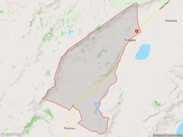
263 people live in Te Hauke, Hawke's Bay, NZTe Hauke Suburb Area Map (Polygon)
Te Hauke Introduction
Te Hauke is a small rural settlement in the Hawke's Bay region of New Zealand. It is located on State Highway 2, approximately 20 kilometers east of Hastings. The settlement has a population of around 100 people and is known for its scenic surroundings and peaceful atmosphere. The area is popular with outdoor enthusiasts, with many opportunities for hiking, cycling, and fishing. Te Hauke also has a historic church and a community hall, which are used for various community events and gatherings.Region
Major City
Suburb Name
Te HaukeOther Name(s)
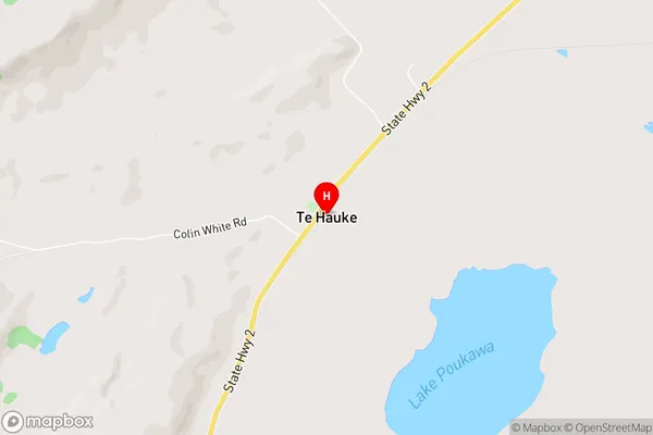
Te AuteTe Hauke Area Map (Street)
Local Authority
Hastings DistrictFull Address
Te Hauke, Hastings District, New ZealandAddress Type
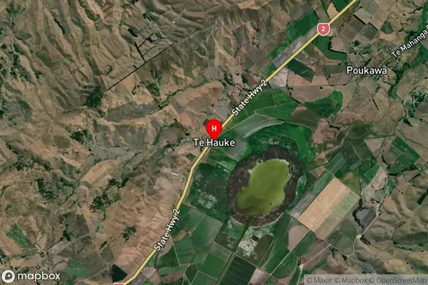
Locality in Town OtaneTe Hauke Suburb Map (Satellite)
Country
Main Region in AU
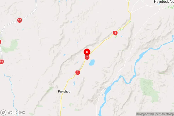
Hawke's BayTe Hauke Region Map
Coordinates
-39.7733538,176.6901809 (latitude/longitude)Distances
The distance from Te Hauke, Otane, Hastings District to NZ Top 10 Cities