Otane Area, Otane Postcode(4202) & Map in Otane
Otane Area, Otane Postcode(4202) & Map in Otane, Central Hawke's Bay District, New Zealand
Otane, Central Hawke's Bay District, New Zealand
Otane Area (estimated)
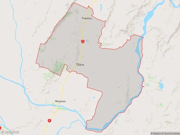
162.5 square kilometersOtane Population (estimated)
1605 people live in Otane, Hawke's Bay, NZOtane Suburb Area Map (Polygon)
Otane Introduction
Otane is a small rural community in Hawke's Bay, New Zealand, located on State Highway 2. It is known for its historic church and scenic surroundings, and is home to a variety of agricultural businesses. The area has a population of around 100 people and is situated between the towns of Waipawa and Hastings.Region
Major City
Suburb Name
Otane (Maori Name: Ōtāne)Other Name(s)
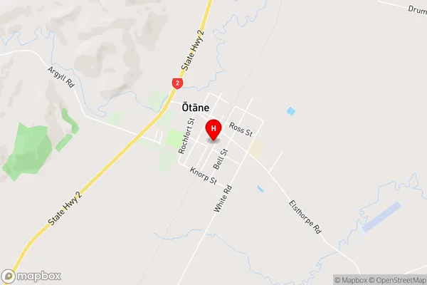
Patangata, PukehouOtane Area Map (Street)
Local Authority
Central Hawke's Bay DistrictFull Address
Otane, Central Hawke's Bay District, New ZealandAddress Type
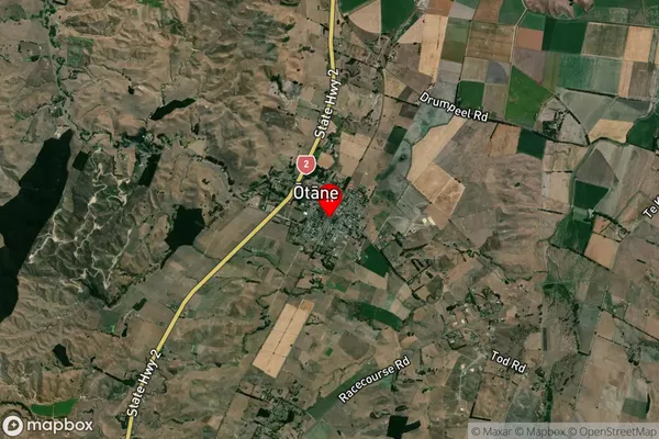
Suburb in Town OtaneOtane Suburb Map (Satellite)
Country
Main Region in AU
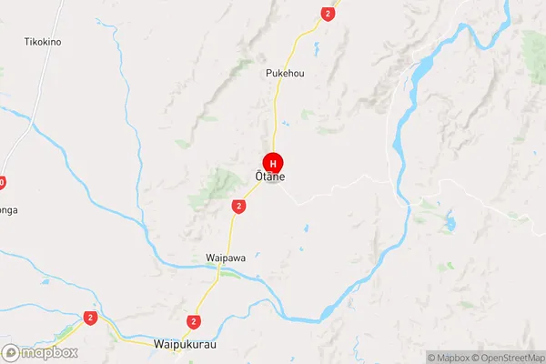
Hawke's BayOtane Region Map
Coordinates
-39.8972482,176.6269044 (latitude/longitude)Distances
The distance from Otane, Otane, Central Hawke's Bay District to NZ Top 10 Cities