Te Onepu Area, Te Onepu Postcode & Map in Te Onepu
Te Onepu Area, Te Onepu Postcode & Map in Te Onepu, Hastings District,
Te Onepu, Hastings District,
Te Onepu Area (estimated)
55.4 square kilometersTe Onepu Population (estimated)
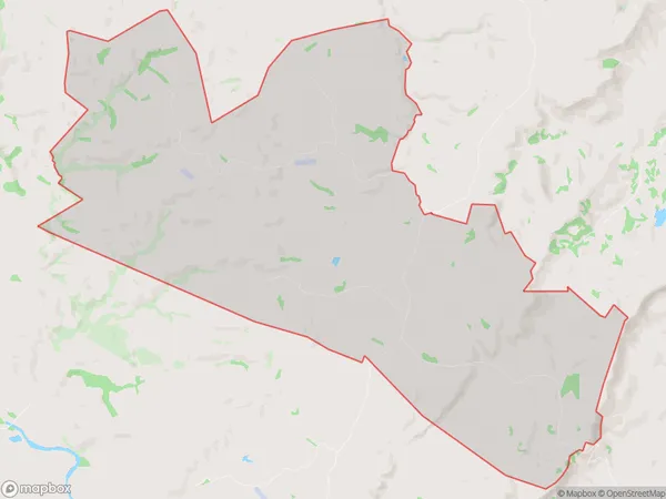
83 people live in Te Onepu, Otane, NZTe Onepu Suburb Area Map (Polygon)
Te Onepu Introduction
Te Onepu is a small rural settlement located in the Hawke's Bay region of New Zealand. It is situated on State Highway 2, approximately 12 km east of Wairoa and 105 km west of Hastings. The area is known for its scenic rural landscapes, including rolling hills, farmland, and native forests. Te Onepu has a population of around 100 people and is home to a primary school, a church, and a few small businesses. The settlement also has a historic cemetery with graves dating back to the 1800s.Region
Major City
Suburb Name
Te OnepuTe Onepu Area Map (Street)
Local Authority
Hastings DistrictFull Address
Te Onepu, Hastings District,Address Type
Locality in Town OtaneTe Onepu Suburb Map (Satellite)
Country
Main Region in AU
Hawke's BayTe Onepu Region Map
Coordinates
0,0 (latitude/longitude)Distances
The distance from Te Onepu, Otane, Hastings District to NZ Top 10 Cities