Ngaruawahia Suburbs & Region, Ngaruawahia Map & Postcodes in Ngaruawahia, Waikato, Waikato
Ngaruawahia Postcodes, Ngaruawahia ZipCodes, Ngaruawahia , Ngaruawahia Waikato, Ngaruawahia Suburbs, Ngaruawahia Region, Ngaruawahia Map, Ngaruawahia Area
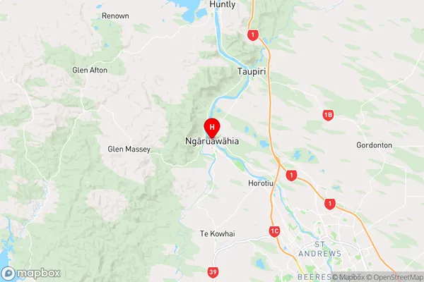
Ngaruawahia Region
Ngaruawahia Suburbs
Ngaruawahia is a city place type in Waikato, Waikato, NZ. It contains 5 suburbs or localities.Ngaruawahia district
WaikatoNgaruawahia Introduction
Ngaruawahia is a city in the Waikato region of New Zealand's North Island. It is situated on the banks of the Waikato River, approximately 120 km northwest of Hamilton. The city has a population of around 50,000 people and is known for its historic buildings, including the Ngaruawahia Castle, which is a major tourist attraction. The city also has a vibrant cultural scene, with numerous galleries, museums, and theaters. Ngaruawahia is a popular destination for outdoor activities, including hiking, cycling, and fishing, and is surrounded by stunning natural scenery, including the Waikato Forest Park.Ngaruawahia Region
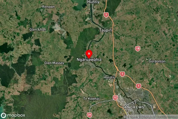
Ngaruawahia Satellite Map

Full Address
Ngaruawahia, Waikato, WaikatoNgaruawahia Coordinates
-37.666266,175.150053 (Latitude / Longitude)Ngaruawahia Map in NZ

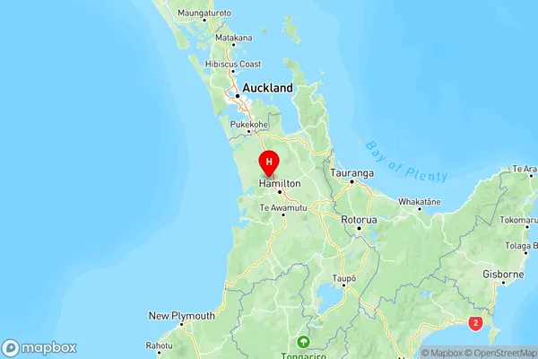
NZ Island
North IslandCountry
Ngaruawahia Suburbs (Sort by Population)
Ngaruawahia
Ngaruawahia - 9588Te Akau
Te Akau - 316Waingaro
Waingaro - 309Pukemiro
Pukemiro - 197Matira
Matira - 64
Ngaruawahia Suburbs (Sort in alphabetical)
Waingaro
