Waingaro Area, Waingaro Postcode(3793) & Map in Waingaro
Waingaro Area, Waingaro Postcode(3793) & Map in Waingaro, Waikato District, New Zealand
Waingaro, Waikato District, New Zealand
Waingaro Postcodes
Waingaro Area (estimated)
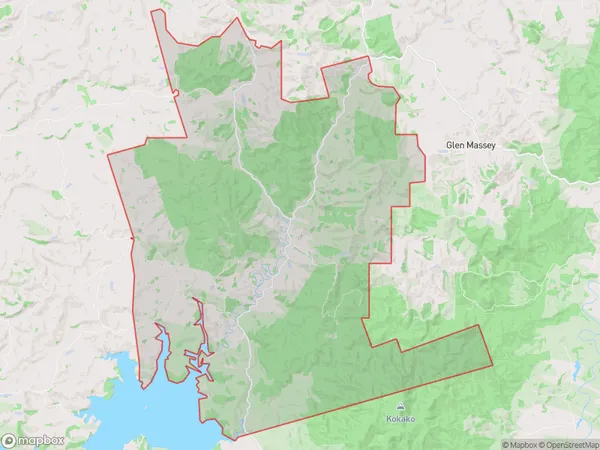
158.3 square kilometersWaingaro Population (estimated)
309 people live in Waingaro, Waikato, NZWaingaro Suburb Area Map (Polygon)
Waingaro Introduction
Waingaro is a small town in the Waikato region of New Zealand. It is situated on the banks of the Waingaro River and is known for its beautiful natural surroundings, including the Waingaro Forest and the Waingaro Falls. The town has a population of around 3,000 people and is a popular destination for outdoor activities such as hiking, cycling, and fishing. It is also home to a number of historic buildings, including the Waingaro Hotel, which was built in 1887.Region
Major City
Suburb Name
WaingaroOther Name(s)
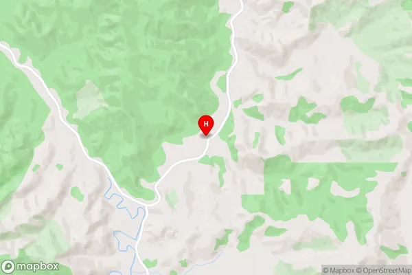
Dunmore, OhautiraWaingaro Area Map (Street)
Local Authority
Waikato DistrictFull Address
Waingaro, Waikato District, New ZealandAddress Type
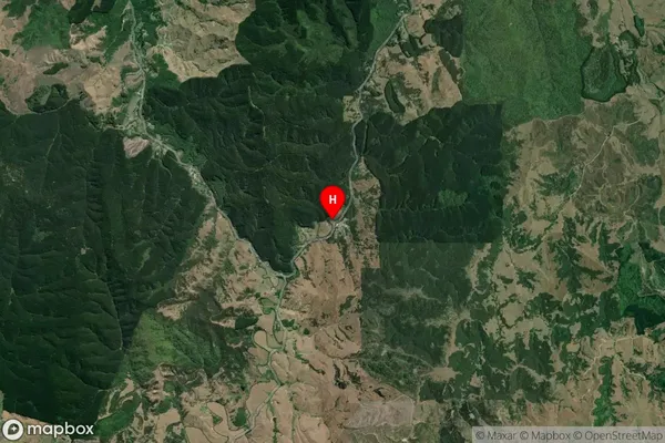
Locality in Town NgaruawahiaWaingaro Suburb Map (Satellite)
Country
Main Region in AU
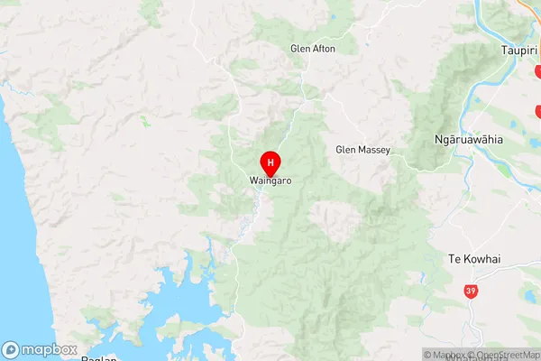
WaikatoWaingaro Region Map
Coordinates
-37.6910539,174.9990749 (latitude/longitude)Distances
The distance from Waingaro, Ngaruawahia, Waikato District to NZ Top 10 Cities