Te Akau Area, Te Akau Postcode & Map in Te Akau
Te Akau Area, Te Akau Postcode & Map in Te Akau, Waikato District, New Zealand
Te Akau, Waikato District, New Zealand
Te Akau Area (estimated)
250.6 square kilometersTe Akau Population (estimated)
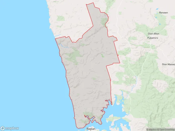
316 people live in Te Akau, Waikato, NZTe Akau Suburb Area Map (Polygon)
Te Akau Introduction
Te Akau is a small town in the Waikato region of New Zealand. It is situated on the banks of the Waikato River and is known for its historic buildings and scenic surroundings. The town has a population of around 500 people and is a popular destination for tourists and locals alike.Region
Major City
Suburb Name
Te Akau (Maori Name: Te Ākau)Other Name(s)
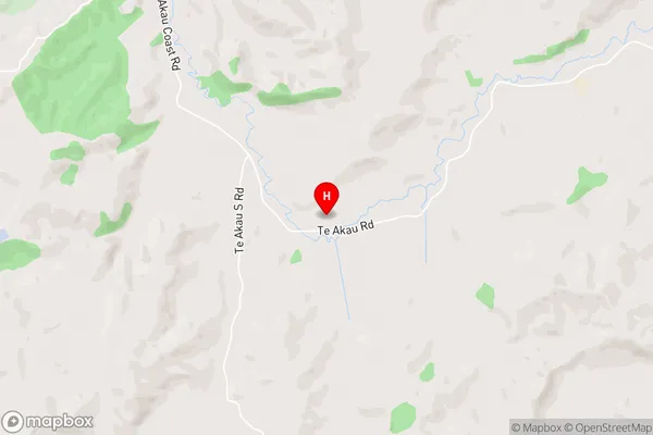
Kauri Flat, Ruakiwi, Rukuruku, Te Akau South, WaikoreaTe Akau Area Map (Street)
Local Authority
Waikato DistrictFull Address
Te Akau, Waikato District, New ZealandAddress Type
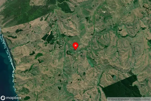
Locality in Town NgaruawahiaTe Akau Suburb Map (Satellite)
Country
Main Region in AU
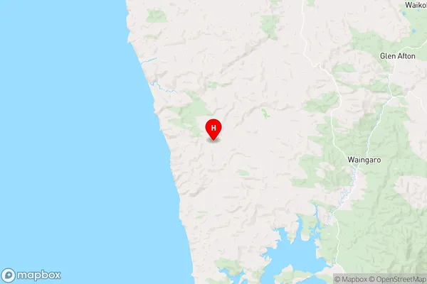
WaikatoTe Akau Region Map
Coordinates
-37.6774474,174.8535901 (latitude/longitude)Distances
The distance from Te Akau, Ngaruawahia, Waikato District to NZ Top 10 Cities