Matira Area, Matira Postcode & Map in Matira
Matira Area, Matira Postcode & Map in Matira, Waikato District,
Matira, Waikato District,
Matira Area (estimated)
55.8 square kilometersMatira Population (estimated)
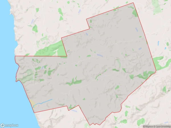
64 people live in Matira, Ngaruawahia, NZMatira Suburb Area Map (Polygon)
Matira Introduction
Matira is a small rural community in the Waikato region of New Zealand, located on State Highway 1. It is known for its beautiful beaches, lush green forests, and tranquil waterways. The community has a population of around 200 people and is surrounded by farmland and native bush. Matira is a popular destination for outdoor enthusiasts, with many walking and hiking trails nearby. The area also has a rich cultural heritage, with several historic buildings and sites.Region
Major City
Suburb Name
MatiraMatira Area Map (Street)
Local Authority
Waikato DistrictFull Address
Matira, Waikato District,Address Type
Locality in Town NgaruawahiaMatira Suburb Map (Satellite)
Country
Main Region in AU
WaikatoMatira Region Map
Coordinates
0,0 (latitude/longitude)Distances
The distance from Matira, Ngaruawahia, Waikato District to NZ Top 10 Cities