Putaruru Suburbs & Region, Putaruru Map & Postcodes in Putaruru, South Waikato, Waikato
Putaruru Postcodes, Putaruru ZipCodes, Putaruru , Putaruru Waikato, Putaruru Suburbs, Putaruru Region, Putaruru Map, Putaruru Area
Putaruru Region (North Putaruru Region)
Putaruru Suburbs
Putaruru is a city place type in South Waikato, Waikato, NZ. It contains 5 suburbs or localities.Putaruru district
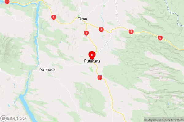
South WaikatoPutaruru Region Map
Putaruru Introduction
Putaruru is a small town in Waikato, New Zealand, located on the banks of the Waikato River. It is known for its historic buildings, including the Putaruru Hotel, which was built in 1887. The town has a population of around 5,000 people and is a popular destination for tourists and locals alike. It is also home to the Putaruru District Council, which administers the area. The town is surrounded by beautiful countryside and is a popular spot for outdoor activities such as fishing, hiking, and cycling.Putaruru Region
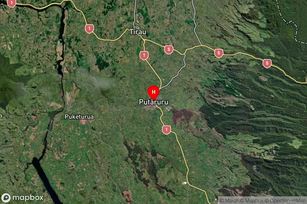
Putaruru Satellite Map
Full Address
Putaruru, South Waikato, WaikatoPutaruru Coordinates
-38.051258,175.77995 (Latitude / Longitude)Putaruru Map in NZ
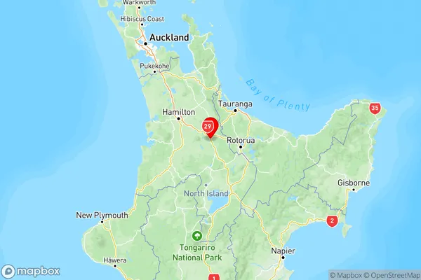
NZ Island
North IslandCountry
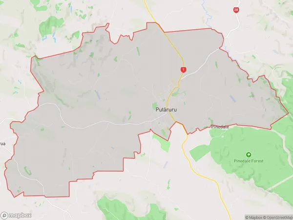
Putaruru Area Map (Polygon)
Name
PutaruruAdditional Name
North PutaruruLocal Authority
South Waikato District