Wiltsdown Area, Wiltsdown Postcode(3420) & Map in Wiltsdown
Wiltsdown Area, Wiltsdown Postcode(3420) & Map in Wiltsdown, South Waikato District, New Zealand
Wiltsdown, South Waikato District, New Zealand
Wiltsdown Postcodes
Wiltsdown Area (estimated)
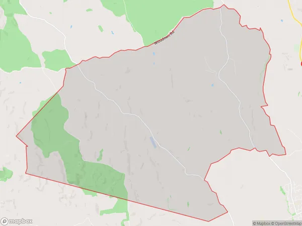
45.4 square kilometersWiltsdown Population (estimated)
224 people live in Wiltsdown, Waikato, NZWiltsdown Suburb Area Map (Polygon)
Wiltsdown Introduction
Wiltsdown is a small rural community in the Waikato region of New Zealand, located approximately 30 minutes south of Putaruru and 1 hour north of Hamilton. It is known for its picturesque rural setting, with rolling hills, lush green fields, and a peaceful atmosphere. The community has a primary school, a post office, a convenience store, and a few small businesses. Wiltsdown is a popular destination for outdoor enthusiasts, with numerous walking and cycling trails nearby. The area is also home to a number of historic buildings, including the Wiltsdown Church, which was built in 1875.Region
Major City
Suburb Name
WiltsdownOther Name(s)
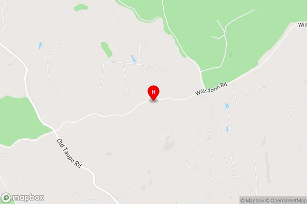
North Tokoroa, WiltstownWiltsdown Area Map (Street)
Local Authority
South Waikato DistrictFull Address
Wiltsdown, South Waikato District, New ZealandAddress Type
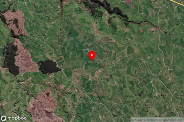
Locality in Town PutaruruWiltsdown Suburb Map (Satellite)
Country
Main Region in AU
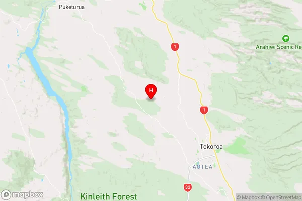
WaikatoWiltsdown Region Map
Coordinates
-38.1675113,175.788331 (latitude/longitude)Distances
The distance from Wiltsdown, Putaruru, South Waikato District to NZ Top 10 Cities