Waotu Area, Waotu Postcode(3481) & Map in Waotu
Waotu Area, Waotu Postcode(3481) & Map in Waotu, South Waikato District, New Zealand
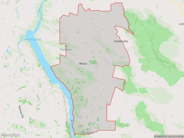
Waotu, South Waikato District, New Zealand
Waotu Postcodes
Waotu Area (estimated)
96.5 square kilometersWaotu Population (estimated)
422 people live in Waotu, Waikato, NZWaotu Suburb Area Map (Polygon)
Waotu Introduction
Waotu is a small town in the Waikato region of New Zealand. It is located on State Highway 1, approximately 30 km south of Putaruru and 120 km north of Hamilton. The town has a population of around 1,000 people and is known for its scenic surroundings, including the Waotu River and the Waotu Forest. The town has a primary school, a post office, a supermarket, and a variety of recreational facilities, including a golf course and a sports complex.Region
Major City
Suburb Name
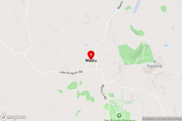
WaotuOther Name(s)
North Putaruru, WoataWaotu Area Map (Street)
Local Authority
South Waikato DistrictFull Address
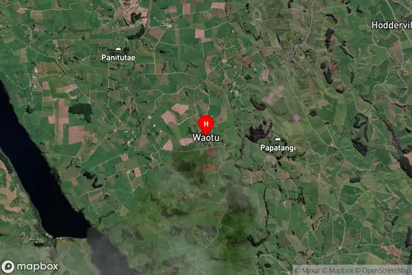
Waotu, South Waikato District, New ZealandAddress Type
Locality in Town PutaruruWaotu Suburb Map (Satellite)
Country
Main Region in AU
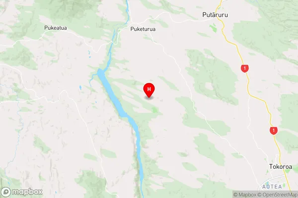
WaikatoWaotu Region Map
Coordinates
-38.1431893,175.6885624 (latitude/longitude)Distances
The distance from Waotu, Putaruru, South Waikato District to NZ Top 10 Cities