Putaruru Area, Putaruru Postcode(3411) & Map in Putaruru
Putaruru Area, Putaruru Postcode(3411) & Map in Putaruru, South Waikato District, New Zealand
Putaruru, South Waikato District, New Zealand
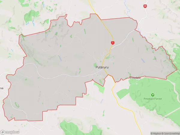
Putaruru Area (estimated)
86.2 square kilometersPutaruru Population (estimated)
5163 people live in Putaruru, Waikato, NZPutaruru Suburb Area Map (Polygon)
Putaruru Introduction
Putaruru is a small town in Waikato, New Zealand, with a population of around 5,000 people. It is known for its historic buildings, including the Putaruru Hotel, which was built in 1887. The town is also home to the Putaruru District Council and the Putaruru Power Station. The town is located on the banks of the Waikato River, and is surrounded by farmland and native bush. It is a popular destination for outdoor activities such as hiking, cycling, and fishing, and is also home to the Putaruru Golf Club.Region
Major City
Suburb Name
Putaruru (Maori Name: Putāruru)Other Name(s)
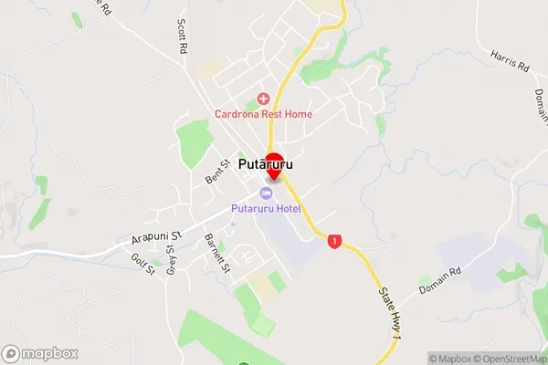
North PutaruruPutaruru Area Map (Street)
Local Authority
South Waikato DistrictFull Address
Putaruru, South Waikato District, New ZealandAddress Type
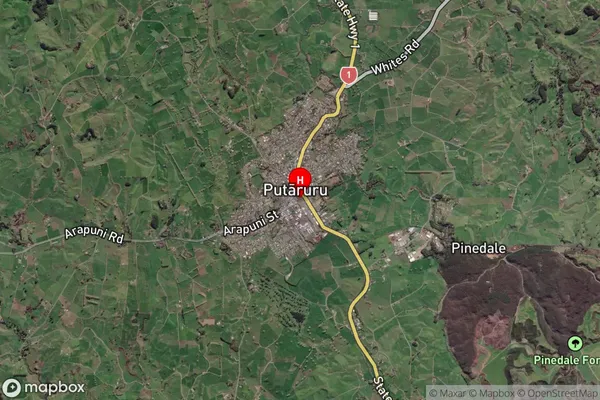
Suburb in Town PutaruruPutaruru Suburb Map (Satellite)
Country
Main Region in AU
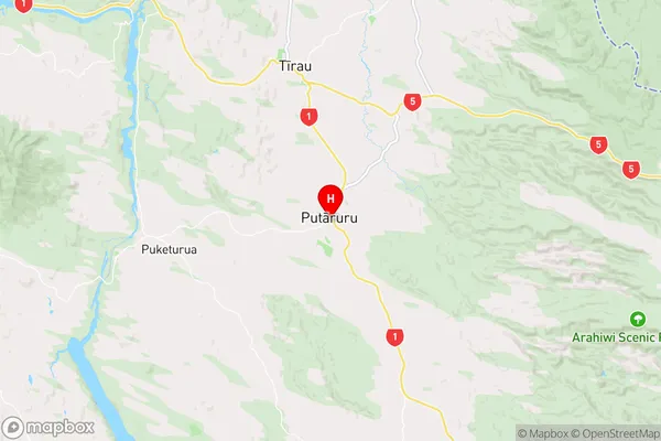
WaikatoPutaruru Region Map
Coordinates
-38.0526167,175.7807566 (latitude/longitude)Distances
The distance from Putaruru, Putaruru, South Waikato District to NZ Top 10 Cities