Lichfield Area, Lichfield Postcode(3482) & Map in Lichfield
Lichfield Area, Lichfield Postcode(3482) & Map in Lichfield, South Waikato District, New Zealand
Lichfield, South Waikato District, New Zealand
Lichfield Area (estimated)
190.3 square kilometersLichfield Population (estimated)
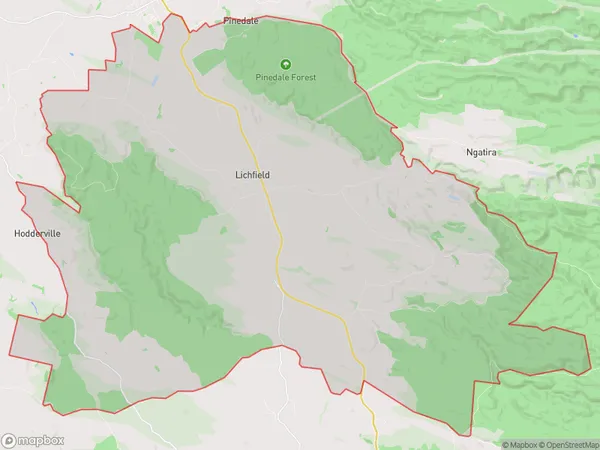
881 people live in Lichfield, Waikato, NZLichfield Suburb Area Map (Polygon)
Lichfield Introduction
Lichfield is a small town in the Waikato region of New Zealand. It is known for its historic buildings, including the Lichfield Cathedral, and its scenic surroundings, including the Waikato River and the surrounding hills. The town has a population of around 5,000 people and is located about 45 minutes south of Hamilton.Region
Major City
Suburb Name
LichfieldOther Name(s)
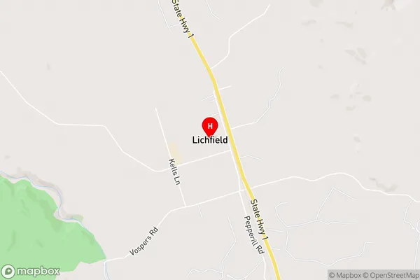
Hodderville, North Putaruru, North Tokoroa, PinedaleLichfield Area Map (Street)
Local Authority
South Waikato DistrictFull Address
Lichfield, South Waikato District, New ZealandAddress Type
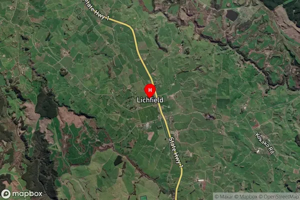
Locality in Town PutaruruLichfield Suburb Map (Satellite)
Country
Main Region in AU
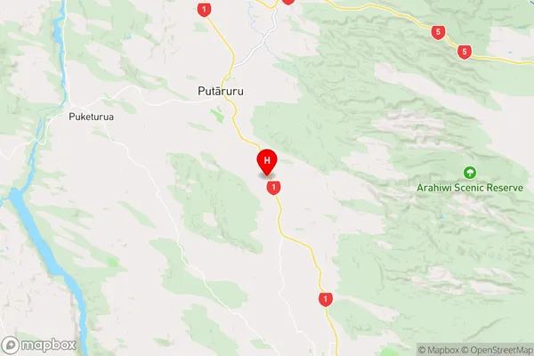
WaikatoLichfield Region Map
Coordinates
-38.1040559,175.8157468 (latitude/longitude)Distances
The distance from Lichfield, Putaruru, South Waikato District to NZ Top 10 Cities