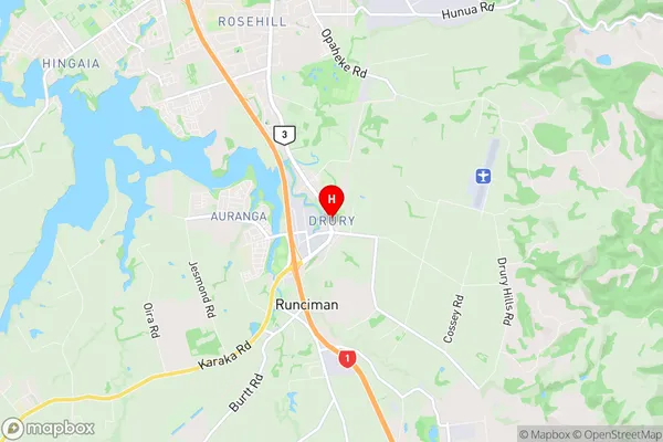
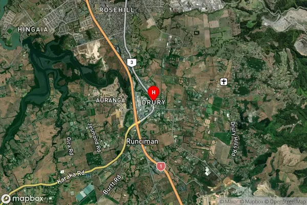
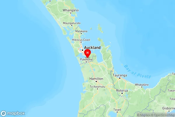
Drury Suburbs & Region, Drury Map & Postcodes in Drury, Papakura, Auckland

Drury Postcodes, Drury ZipCodes, Drury , Drury Auckland, Drury Suburbs, Drury Region, Drury Map, Drury Area

Drury Region

  • Drury Suburbs

    Drury is a suburb place type in Papakura, Auckland, NZ. It contains 4 suburbs or localities.
  • Drury Postcodes

    211322472577
  • Drury Region Map

    Drury, Auckland Region Map
  • Drury Introduction

    Drury is a suburb of Auckland, New Zealand, located in the Waitakere Ranges. It is known for its rural atmosphere, scenic views, and popular outdoor activities such as hiking, cycling, and fishing. The area has a population of around 10,000 people and is located approximately 20 kilometers west of Auckland City. Drury also has a number of schools, including a primary school, a secondary school, and a college. The suburb is surrounded by lush green forests and has a variety of housing options, including farms, houses, and apartments.
  • Drury Region

  • Drury City

  • Drury Satellite Map

    Drury, Auckland Satellite Map
  • Full Address

    Drury, Papakura, Auckland
  • Drury Coordinates

    -37.102067,174.951828 (Latitude / Longitude)
  • Drury Map in NZ

    Drury, Auckland Region Map
  • NZ Island

    North Island
  • Drury Area Map (Polygon)

    Drury, Auckland Polygon Area Map
  • Name

    Drury
  • Additional Name

  • Local Authority

    Auckland

Drury Suburbs (Sort by Population)

Drury Suburbs (Sort in alphabetical)