Drury Area, Drury Postcode(2113) & Map in Drury
Drury Area, Drury Postcode(2113) & Map in Drury, Auckland, New Zealand
Drury, Auckland, New Zealand
Drury Area (estimated)
19.5 square kilometersDrury Population (estimated)
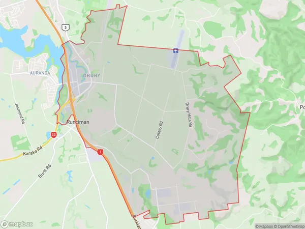
1948 people live in Drury, Papakura, NZDrury Suburb Area Map (Polygon)
Drury Introduction
Drury is a suburb of Auckland, New Zealand, located in the Waitakere City Council area. It is known for its rural atmosphere, scenic views, and popular outdoor activities such as hiking, cycling, and fishing. The area has a population of around 30,000 people and is located approximately 20 kilometers from the Auckland city center.Region
Major City
Suburb Name
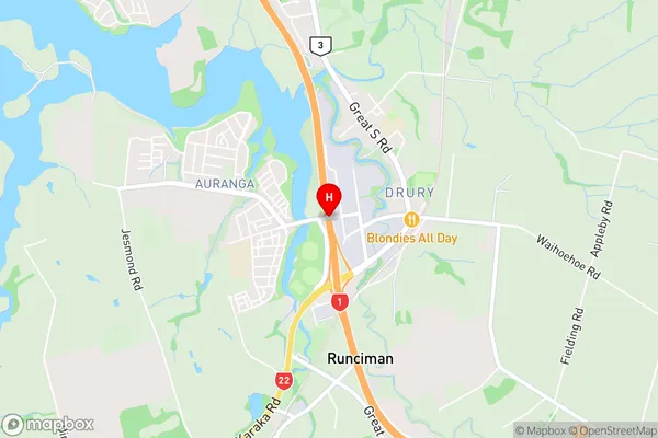
DruryDrury Area Map (Street)
Local Authority
AucklandFull Address
Drury, Auckland, New ZealandAddress Type
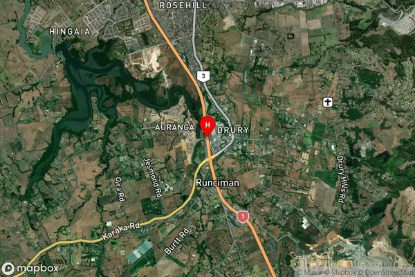
Suburb in Town DruryDrury Suburb Map (Satellite)
Country
Main Region in AU
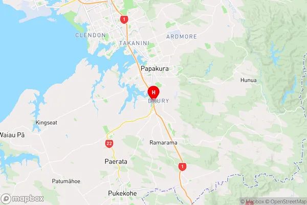
AucklandDrury Region Map
Coordinates
-37.1037019,174.9455491 (latitude/longitude)Distances
The distance from Drury, Drury, Auckland to NZ Top 10 Cities