Ramarama Area, Ramarama Postcode(2579) & Map in Ramarama
Ramarama Area, Ramarama Postcode(2579) & Map in Ramarama, Auckland, New Zealand
Ramarama, Auckland, New Zealand
Ramarama Area (estimated)
29.1 square kilometersRamarama Population (estimated)
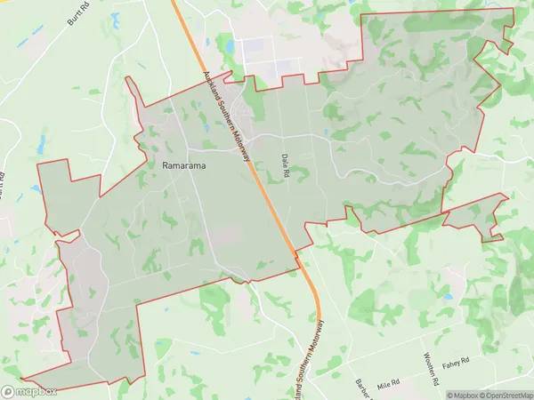
1580 people live in Ramarama, Franklin, NZRamarama Suburb Area Map (Polygon)
Ramarama Introduction
Ramarama is a suburb of Auckland, New Zealand, located on the North Shore. It is known for its scenic coastal views, lush forests, and popular hiking and biking trails. The area has a rich history and was once home to the Mori people. Ramarama also has a popular beach and a small community center with a library and sports facilities.Region
Major City
Suburb Name
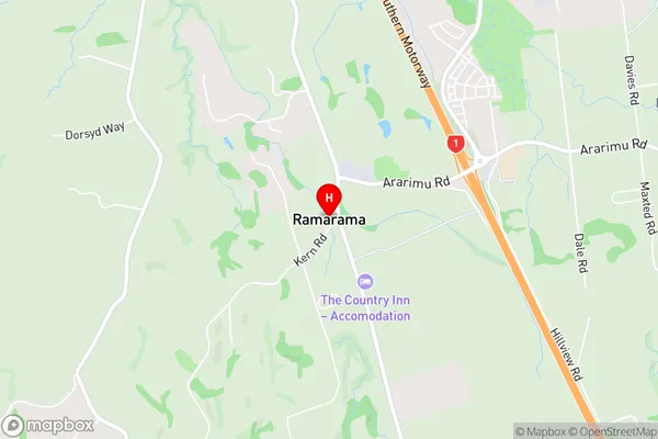
RamaramaRamarama Area Map (Street)
Local Authority
AucklandFull Address
Ramarama, Auckland, New ZealandAddress Type
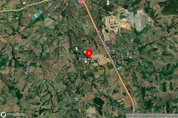
Locality in Town DruryRamarama Suburb Map (Satellite)
Country
Main Region in AU
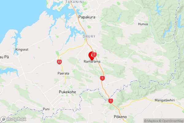
AucklandRamarama Region Map
Coordinates
-37.1465318,174.9588427 (latitude/longitude)Distances
The distance from Ramarama, Drury, Auckland to NZ Top 10 Cities