Runciman Area, Runciman Postcode(2578) & Map in Runciman
Runciman Area, Runciman Postcode(2578) & Map in Runciman, Auckland, New Zealand
Runciman, Auckland, New Zealand
Runciman Postcodes
Runciman Area (estimated)
9.6 square kilometersRunciman Population (estimated)
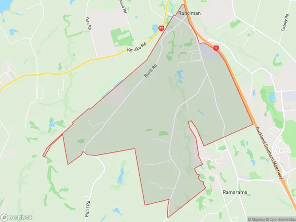
463 people live in Runciman, Franklin, NZRunciman Suburb Area Map (Polygon)
Runciman Introduction
Runciman, Drury, Auckland, NZ, was a large residential area in the eastern suburbs of Auckland City, New Zealand. It was known for its spacious homes, leafy streets, and convenient location, making it a popular choice for families and professionals. The area was developed in the late 19th century and was named after the Runciman family, who were prominent land owners and developers in the region. Today, Runciman, Drury, and other eastern suburbs of Auckland have become increasingly popular with commuters and young professionals seeking a more suburban lifestyle.Region
Major City
Suburb Name
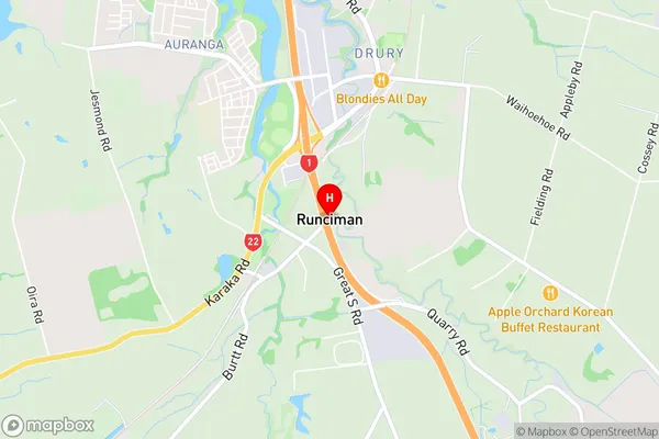
RuncimanRunciman Area Map (Street)
Local Authority
AucklandFull Address
Runciman, Auckland, New ZealandAddress Type
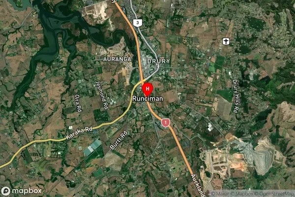
Locality in Town DruryRunciman Suburb Map (Satellite)
Country
Main Region in AU
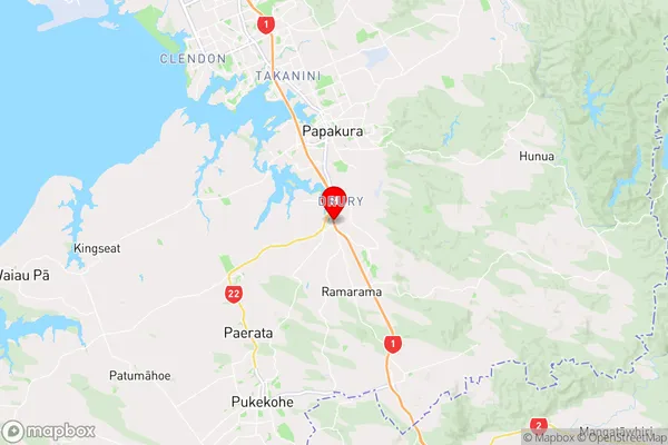
AucklandRunciman Region Map
Coordinates
-37.1124193,174.9479842 (latitude/longitude)Distances
The distance from Runciman, Drury, Auckland to NZ Top 10 Cities