Ararimu Area, Ararimu Postcode(2343) & Map in Ararimu
Ararimu Area, Ararimu Postcode(2343) & Map in Ararimu, Auckland, New Zealand
Ararimu, Auckland, New Zealand
Ararimu Area (estimated)
38.0 square kilometersArarimu Population (estimated)
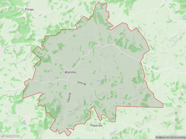
1073 people live in Ararimu, Franklin, NZArarimu Suburb Area Map (Polygon)

Ararimu Introduction
Ararimu is a suburb of Auckland, New Zealand. It is located in the Waitakere City Council area and is part of the wider Auckland metropolitan area. The suburb has a population of around 10,000 people and is known for its scenic surroundings, including the Ararimu Valley and the Ararimu Forest. It is also home to a number of important historical sites, including the Ararimu Pa, a former Māori settlement.Region
Major City
Suburb Name
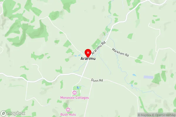
ArarimuArarimu Area Map (Street)

Local Authority
AucklandFull Address
Ararimu, Auckland, New ZealandAddress Type
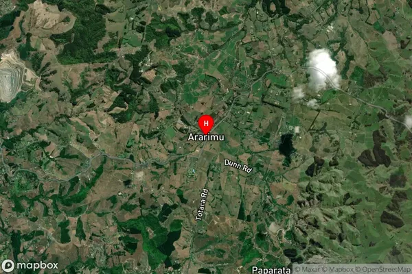
Locality in Town DruryArarimu Suburb Map (Satellite)

Country
Main Region in AU
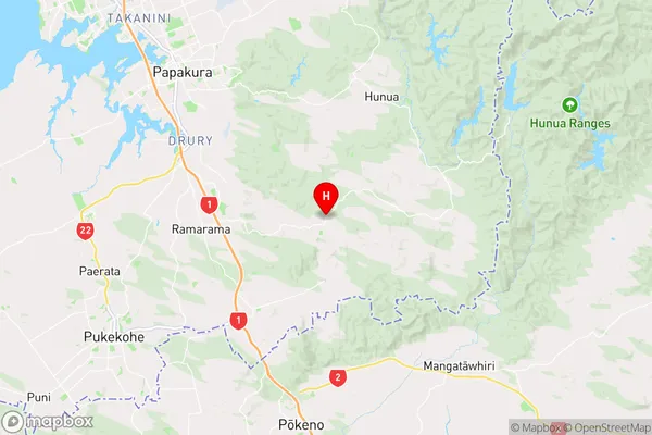
AucklandArarimu Region Map

Coordinates
-37.1406138,175.037806 (latitude/longitude)Distances
The distance from Ararimu, Drury, Auckland to NZ Top 10 Cities