Waikaia Suburbs & Region, Waikaia Map & Postcodes in Waikaia, Southland, Southland
Waikaia Postcodes, Waikaia ZipCodes, Waikaia , Waikaia Southland, Waikaia Suburbs, Waikaia Region, Waikaia Map, Waikaia Area
Waikaia Region
Waikaia Suburbs
Waikaia is a city place type in Southland, Southland, NZ. It contains 7 suburbs or localities.Waikaia Postcodes
Waikaia district
SouthlandWaikaia Introduction
Waikaia is a small town in Southland, New Zealand, located on State Highway 6 between Gore and Te Anau. It is known for its scenic surroundings, including the Waikaia Gorge and the Waikaia River. The town has a population of around 3,000 people and is a popular stopover for tourists traveling between Southland and the West Coast. It is also home to a number of agricultural businesses, including a cheese factory and a sheep and beef farm.Waikaia Region
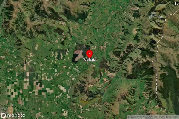
Waikaia Satellite Map

Full Address
Waikaia, Southland, SouthlandWaikaia Coordinates
-45.725327,168.850005 (Latitude / Longitude)Waikaia Map in NZ

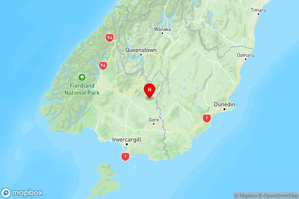
NZ Island
South IslandCountry
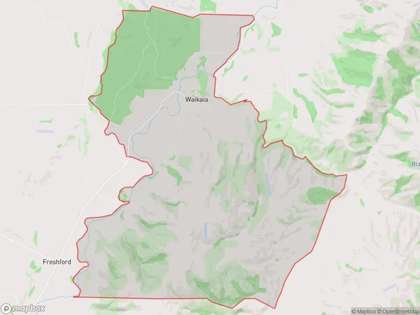
Waikaia Area Map (Polygon)

Name
WaikaiaAdditional Name
Local Authority
Southland District
Waikaia Suburbs (Sort by Population)
Waikaia
Waikaia - 167Piano Flat
Piano Flat - 46Freshford
Freshford - 45Steeple Burn
Steeple Burn - 29Argyle Hill
Argyle Hill - 15Old Man Range
Old Man Range - 5Potters
Potters - 0
