Argyle Hill Area, Argyle Hill Postcode & Map in Argyle Hill
Argyle Hill Area, Argyle Hill Postcode & Map in Argyle Hill, Southland District, New Zealand
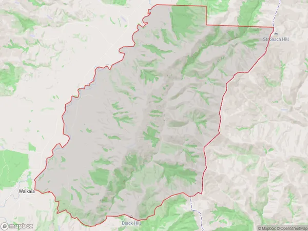
Argyle Hill, Southland District, New Zealand
Argyle Hill Area (estimated)
161.1 square kilometersArgyle Hill Population (estimated)
15 people live in Argyle Hill, Southland, NZArgyle Hill Suburb Area Map (Polygon)
Argyle Hill Introduction
Argyle Hill is a historic farmstead located in Waikaia, Southland, New Zealand. It was established in the 1860s by Scottish settlers and is known for its picturesque stone buildings and lush green gardens. The farm has been preserved as a heritage site and is open to the public for tours and events.Region
Major City
Suburb Name
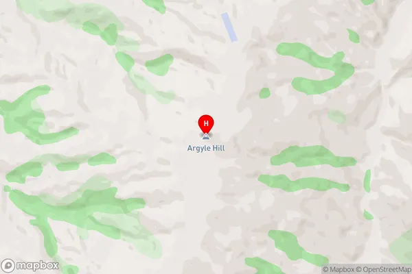
Argyle HillArgyle Hill Area Map (Street)
Local Authority
Southland DistrictFull Address
Argyle Hill, Southland District, New ZealandAddress Type
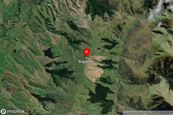
Locality in Major Locality WaikaiaArgyle Hill Suburb Map (Satellite)
Country
Main Region in AU
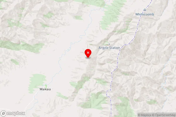
SouthlandArgyle Hill Region Map
Coordinates
-45.675028,168.950333 (latitude/longitude)Distances
The distance from Argyle Hill, Waikaia, Southland District to NZ Top 10 Cities