Steeple Burn Area, Steeple Burn Postcode & Map in Steeple Burn
Steeple Burn Area, Steeple Burn Postcode & Map in Steeple Burn, Southland District,
Steeple Burn, Southland District,
Steeple Burn Area (estimated)
51.4 square kilometersSteeple Burn Population (estimated)
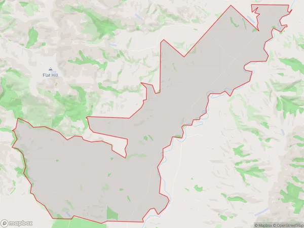
29 people live in Steeple Burn, Waikaia, NZSteeple Burn Suburb Area Map (Polygon)
Steeple Burn Introduction
Steeple Burn is a small rural settlement in Southland, New Zealand. It is located in the Waikaia District of Southland and is situated on the banks of the Steeple Burn River. The settlement was first established in the 1870s by settlers from Scotland and England. The area is known for its scenic countryside and its rich agricultural history. The Steeple Burn Viaduct, a historic bridge built in the 1880s, is a popular tourist attraction in the area.Region
Major City
Suburb Name
Steeple BurnSteeple Burn Area Map (Street)
Local Authority
Southland DistrictFull Address
Steeple Burn, Southland District,Address Type
Locality in Major Locality WaikaiaSteeple Burn Suburb Map (Satellite)
Country
Main Region in AU
SouthlandSteeple Burn Region Map
Coordinates
0,0 (latitude/longitude)Distances
The distance from Steeple Burn, Waikaia, Southland District to NZ Top 10 Cities