Potters Area, Potters Postcode & Map in Potters
Potters Area, Potters Postcode & Map in Potters, Southland District, New Zealand
Potters, Southland District, New Zealand
Potters Area (estimated)
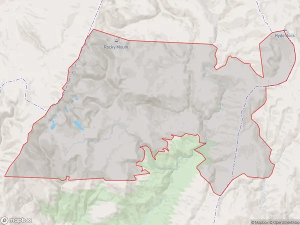
357.1 square kilometersPotters Population (estimated)
0 people live in Potters, Southland, NZPotters Suburb Area Map (Polygon)
Potters Introduction
Potters is a small rural community in Southland, New Zealand, located on the banks of the Waikaia River. It is known for its picturesque scenery, friendly locals, and traditional Maori culture. The area is popular with tourists and outdoor enthusiasts, who enjoy activities such as hiking, fishing, and hunting. Potters also has a primary school, a post office, and a small supermarket.Region
Major City
Suburb Name
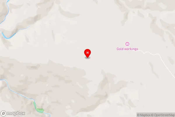
PottersPotters Area Map (Street)
Local Authority
Southland DistrictFull Address
Potters, Southland District, New ZealandAddress Type
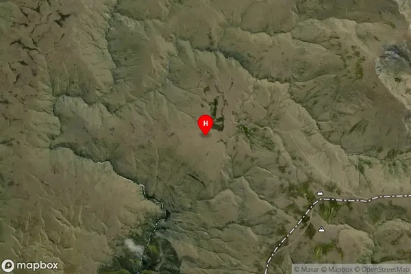
Locality in Major Locality WaikaiaPotters Suburb Map (Satellite)
Country
Main Region in AU
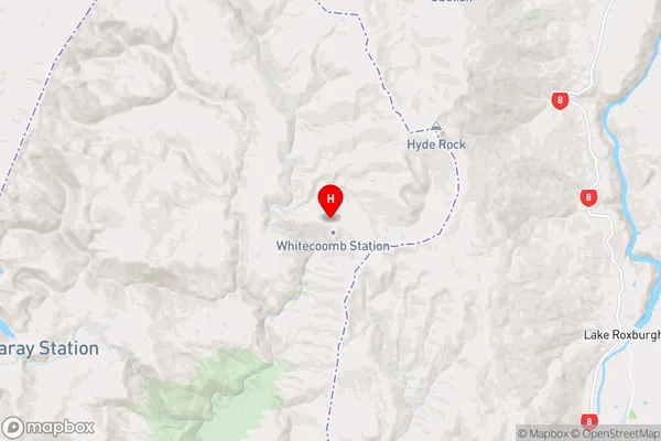
SouthlandPotters Region Map
Coordinates
-45.428707,169.1314232 (latitude/longitude)Distances
The distance from Potters, Waikaia, Southland District to NZ Top 10 Cities