Waikaia Area, Waikaia Postcode(9745) & Map in Waikaia
Waikaia Area, Waikaia Postcode(9745) & Map in Waikaia, Southland District, New Zealand
Waikaia, Southland District, New Zealand
Waikaia Postcodes
Waikaia Area (estimated)
58.1 square kilometersWaikaia Population (estimated)
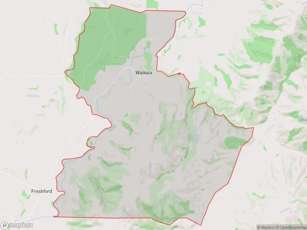
167 people live in Waikaia, Southland, NZWaikaia Suburb Area Map (Polygon)
Waikaia Introduction
Waikaia is a small town in Southland, New Zealand, with a population of around 4,500 people. It is known for its strong agricultural industry, with a focus on sheep farming and dairy production. The town is also home to the Waikaia River, which provides water for irrigation and hydroelectric power. The surrounding countryside is scenic, with rolling hills and picturesque farmland. Waikaia is located approximately 120 kilometers south of Invercargill and 30 kilometers north of Gore.Region
Major City
Suburb Name
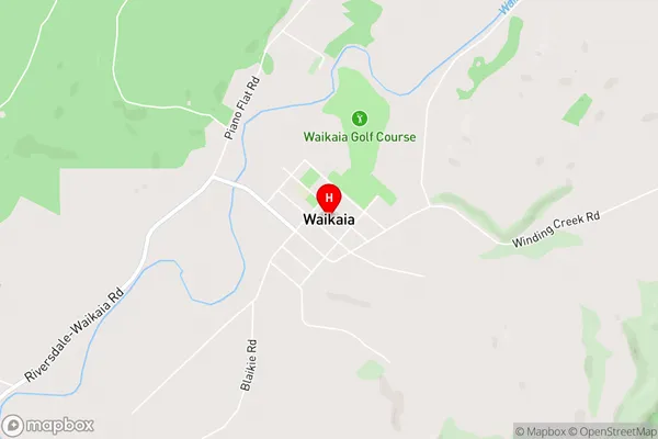
WaikaiaWaikaia Area Map (Street)
Local Authority
Southland DistrictFull Address
Waikaia, Southland District, New ZealandAddress Type
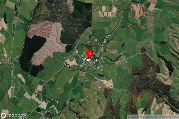
Locality in Major Locality WaikaiaWaikaia Suburb Map (Satellite)
Country
Main Region in AU
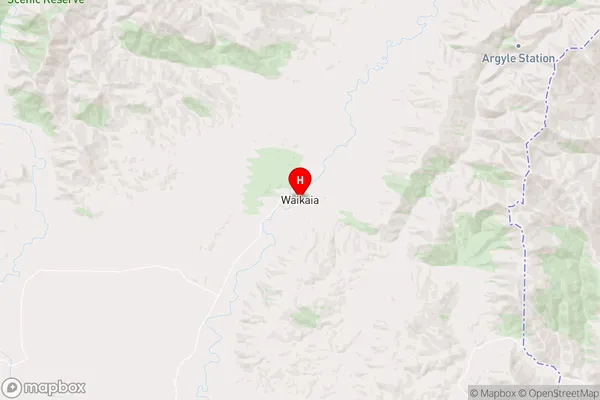
SouthlandWaikaia Region Map
Coordinates
-45.7253274,168.8500051 (latitude/longitude)Distances
The distance from Waikaia, Waikaia, Southland District to NZ Top 10 Cities