Ranfurly Suburbs & Region, Ranfurly Map & Postcodes in Ranfurly, Central Otago, Central Otago / Lakes District, Otago, South Island, New Zealand
Ranfurly Postcodes, Ranfurly ZipCodes, Ranfurly , Ranfurly Otago, Ranfurly Suburbs, Ranfurly Region, Ranfurly Map, Ranfurly Area
Ranfurly Region
Ranfurly Suburbs
Ranfurly is a suburb place type in Central Otago, Central Otago / Lakes District, Otago, South Island, New Zealand, NZ. It contains 5 suburbs or localities.Ranfurly district
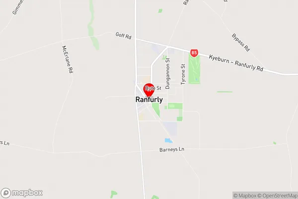
Central OtagoRanfurly Region Map
Ranfurly Introduction
Ranfurly is a small town in Otago, New Zealand, located on the banks of the Taieri River. It is known for its historic buildings, including the Ranfurly Hotel, which was built in 1867. The town also has a strong agricultural community, with a variety of crops and livestock being produced in the surrounding area. Ranfurly is a popular tourist destination, with visitors coming to explore the town's heritage and enjoy the natural beauty of the Taieri River.Ranfurly Region
Ranfurly City
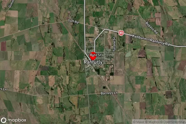
Ranfurly Satellite Map
Full Address
Ranfurly, Central Otago, Central Otago / Lakes District, Otago, South Island, New ZealandRanfurly Coordinates
-45.129525,170.099781 (Latitude / Longitude)Ranfurly Map in NZ
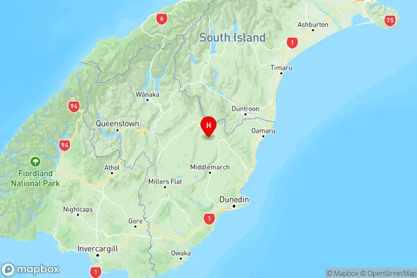
NZ Island
South IslandCountry
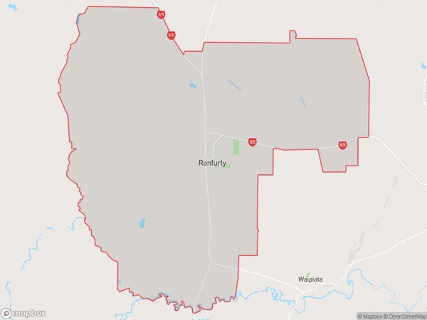
Ranfurly Area Map (Polygon)
Name
RanfurlyAdditional Name
Local Authority
Central Otago District
Ranfurly Suburbs (Sort by Population)
Ranfurly
Ranfurly - 881Waipiata
Waipiata - 80Gimmerburn
Gimmerburn - 50Wedderburn
Wedderburn - 45Orangapai
Orangapai - 41