Gimmerburn Area, Gimmerburn Postcode(9395) & Map in Gimmerburn
Gimmerburn Area, Gimmerburn Postcode(9395) & Map in Gimmerburn, Central Otago District, New Zealand
Gimmerburn, Central Otago District, New Zealand
Gimmerburn Postcodes
Gimmerburn Area (estimated)
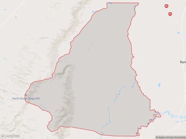
220.6 square kilometersGimmerburn Population (estimated)
50 people live in Gimmerburn, Otago, NZGimmerburn Suburb Area Map (Polygon)
Gimmerburn Introduction
Gimmerburn is a small rural town located in the Central Otago region of New Zealand. It is situated on the banks of the Gimmerburn River and is known for its stunning natural scenery, including mountains, forests, and rivers. The town has a population of around 1,000 people and is a popular destination for outdoor enthusiasts, with many hiking and cycling trails nearby. Gimmerburn also has a historic stone church and a variety of local businesses, including a hotel and a convenience store.Region
Major City
Suburb Name
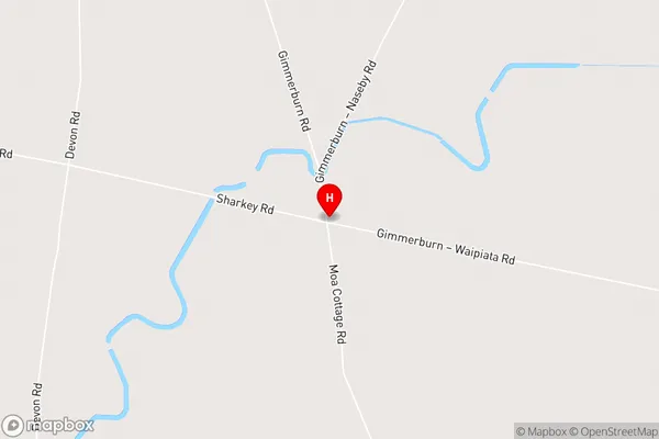
GimmerburnGimmerburn Area Map (Street)
Local Authority
Central Otago DistrictFull Address
Gimmerburn, Central Otago District, New ZealandAddress Type
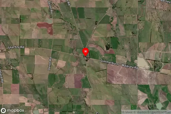
Locality in Town RanfurlyGimmerburn Suburb Map (Satellite)
Country
Main Region in AU
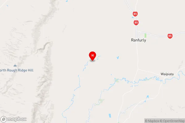
OtagoGimmerburn Region Map
Coordinates
-45.1632382,169.9975176 (latitude/longitude)Distances
The distance from Gimmerburn, Ranfurly, Central Otago District to NZ Top 10 Cities