Waipiata Area, Waipiata Postcode & Map in Waipiata
Waipiata Area, Waipiata Postcode & Map in Waipiata, Central Otago District, New Zealand
Waipiata, Central Otago District, New Zealand
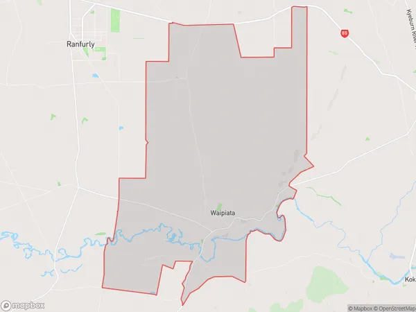
Waipiata Area (estimated)
57.8 square kilometersWaipiata Population (estimated)
80 people live in Waipiata, Otago, NZWaipiata Suburb Area Map (Polygon)
Waipiata Introduction
Waipiata is a small town in Otago, New Zealand, located on the banks of the Waipiata River. It is known for its scenic beauty, with rolling hills, lush green fields, and a peaceful atmosphere. The town has a population of around 1,200 people and is a popular destination for tourists who enjoy hiking, fishing, and exploring the local history and culture.Region
Major City
Suburb Name
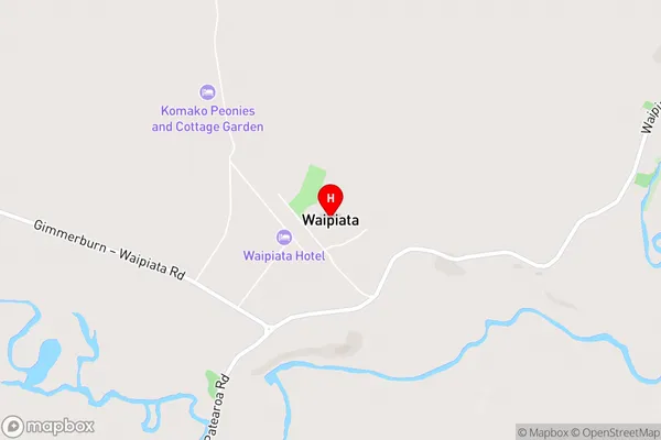
WaipiataWaipiata Area Map (Street)
Local Authority
Central Otago DistrictFull Address
Waipiata, Central Otago District, New ZealandAddress Type
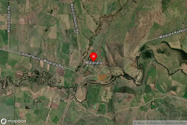
Locality in Town RanfurlyWaipiata Suburb Map (Satellite)
Country
Main Region in AU
OtagoWaipiata Region Map
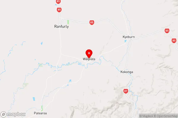
Coordinates
-45.1829643,170.1636959 (latitude/longitude)Distances
The distance from Waipiata, Ranfurly, Central Otago District to NZ Top 10 Cities