Wedderburn Area, Wedderburn Postcode(9395) & Map in Wedderburn
Wedderburn Area, Wedderburn Postcode(9395) & Map in Wedderburn, Central Otago District, New Zealand
Wedderburn, Central Otago District, New Zealand
Wedderburn Area (estimated)
93.6 square kilometersWedderburn Population (estimated)
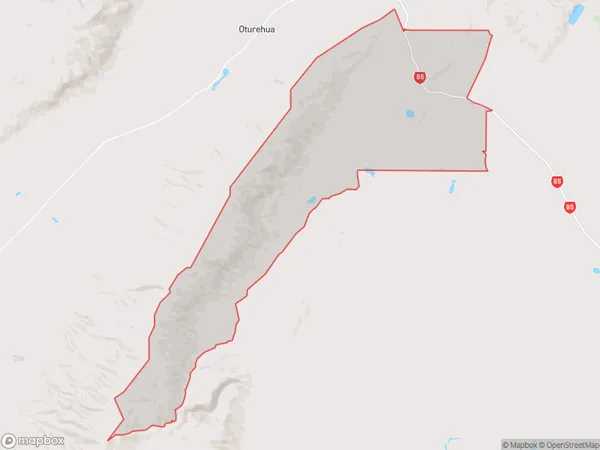
45 people live in Wedderburn, Otago, NZWedderburn Suburb Area Map (Polygon)
Wedderburn Introduction
Weddellburn is a small rural town in Otago, New Zealand, located 12 km south of Ranfurly and 86 km north of Dunedin. It is part of the Central Otago District and has a population of around 300 people. The town is named after the Weddell River, which flows through it, and was first settled in 1864 by Scottish settlers. Weddellburn is known for its historic stone buildings, including the Weddellburn Hotel, which was built in 1878. The town also has a primary school, a post office, and a community hall.Region
Major City
Suburb Name
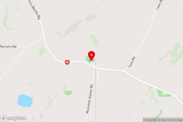
WedderburnWedderburn Area Map (Street)
Local Authority
Central Otago DistrictFull Address
Wedderburn, Central Otago District, New ZealandAddress Type
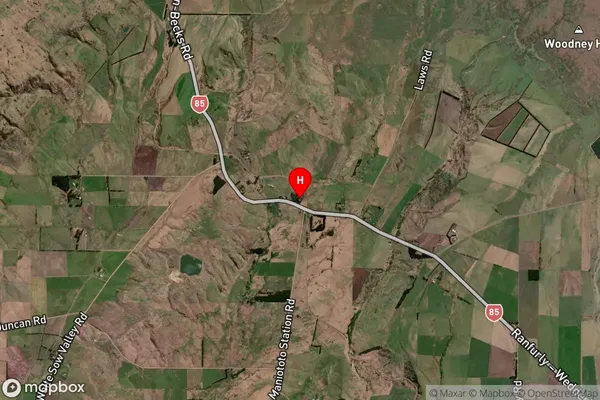
Locality in Town RanfurlyWedderburn Suburb Map (Satellite)
Country
Main Region in AU
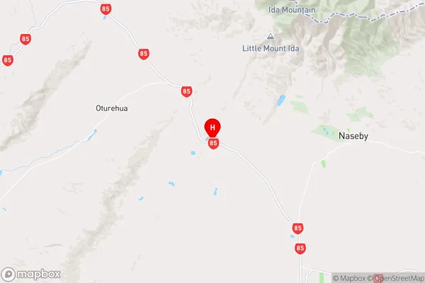
OtagoWedderburn Region Map
Coordinates
-45.0288492,170.0096414 (latitude/longitude)Distances
The distance from Wedderburn, Ranfurly, Central Otago District to NZ Top 10 Cities