Orangapai Area, Orangapai Postcode & Map in Orangapai
Orangapai Area, Orangapai Postcode & Map in Orangapai, Central Otago District, New Zealand
Orangapai, Central Otago District, New Zealand
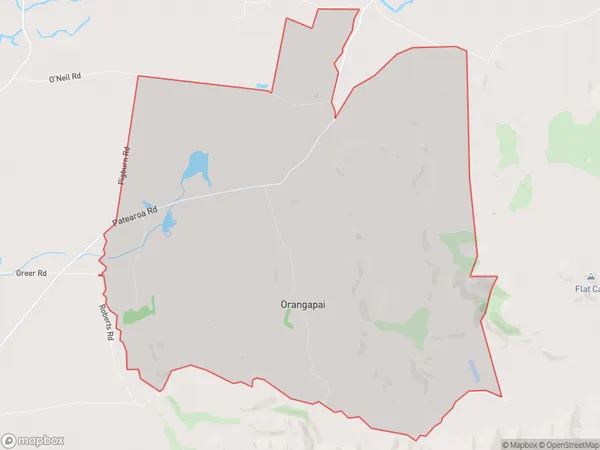
Orangapai Area (estimated)
29.9 square kilometersOrangapai Population (estimated)
41 people live in Orangapai, Otago, NZOrangapai Suburb Area Map (Polygon)
Orangapai Introduction
Orangapai is a small rural community in Ranfurly, Otago, New Zealand. It is located on the banks of the Orangapai River, 12 km south of Ranfurly and 135 km south of Dunedin. The area was first settled by Māori in the 13th century and the first European settlers arrived in the 1860s. The community has a primary school, a post office, a church, and a few shops. The surrounding area is known for its farming and forestry, with sheep and beef farming being the main industries. The community also has a rich history of mining, with gold and silver being mined in the area in the 19th century.Region
Major City
Suburb Name
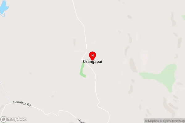
OrangapaiOrangapai Area Map (Street)
Local Authority
Central Otago DistrictFull Address
Orangapai, Central Otago District, New ZealandAddress Type
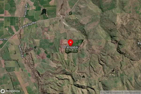
Locality in Town RanfurlyOrangapai Suburb Map (Satellite)
Country
Main Region in AU
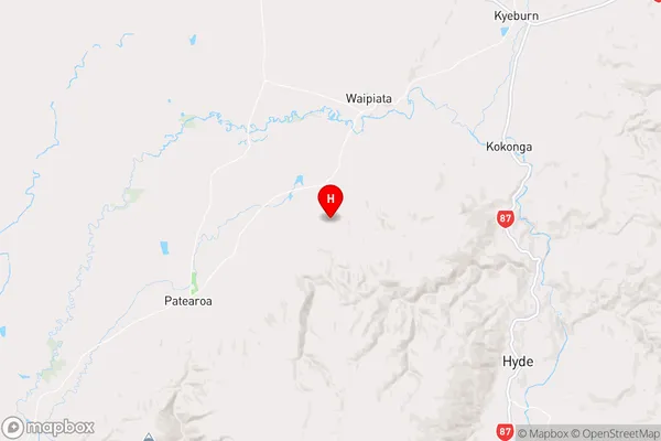
OtagoOrangapai Region Map
Coordinates
-45.2364797,170.1397552 (latitude/longitude)Distances
The distance from Orangapai, Ranfurly, Central Otago District to NZ Top 10 Cities