Waiau Suburbs & Region, Waiau Map & Postcodes in Waiau, Hurunui, Canterbury
Waiau Postcodes, Waiau ZipCodes, Waiau , Waiau Canterbury, Waiau Suburbs, Waiau Region, Waiau Map, Waiau Area
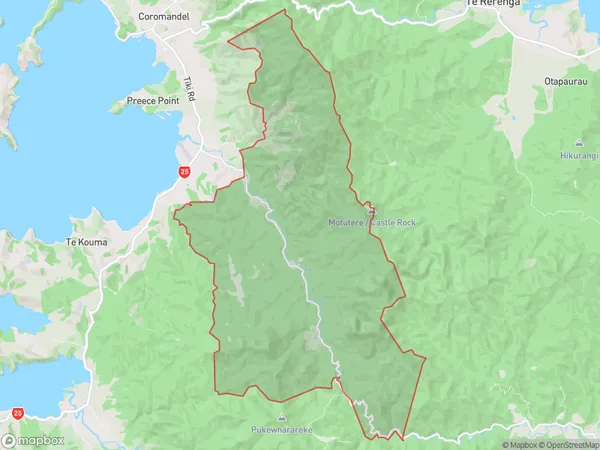
Waiau Region (Coromandel Hills Region)
Waiau Suburbs
Waiau is a city place type in Hurunui, Canterbury, NZ. It contains 4 suburbs or localities.Waiau district
HurunuiWaiau Region Map
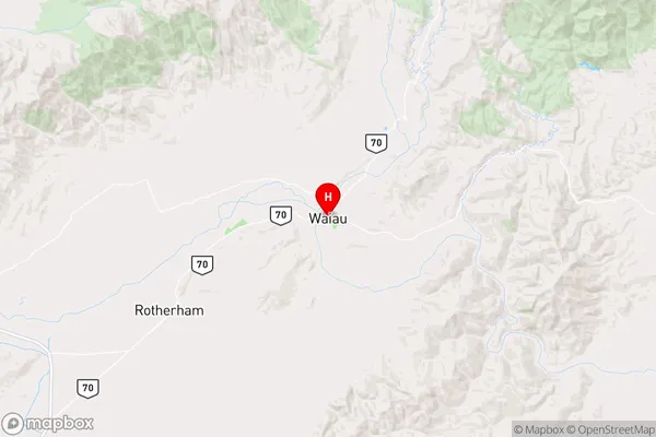
Waiau Introduction
Waiau is a small town in Canterbury, New Zealand, located on the banks of the Waiau River. It is known for its picturesque scenery, including the Waiau Ferry, which crosses the river to the town of Waihi. The town has a population of around 1,000 people and is a popular destination for tourists and outdoor enthusiasts. The Waiau District Museum is located in the town and showcases the history and culture of the area. The town also has a golf course, a bowling club, and a variety of shops and cafes.Waiau Region
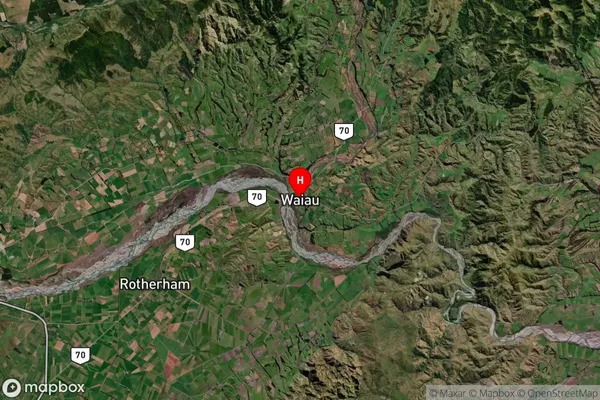
Waiau Satellite Map
Full Address
Waiau, Hurunui, CanterburyWaiau Coordinates
-42.655101,173.04235 (Latitude / Longitude)Waiau Map in NZ
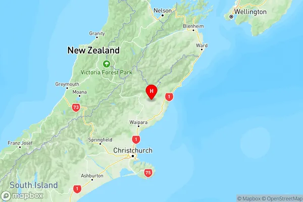
NZ Island
South IslandCountry
Waiau Area Map (Polygon)
Name
WaiauAdditional Name
Coromandel HillsLocal Authority
Thames-Coromandel District
Waiau Suburbs (Sort by Population)
Waiau
Waiau - 470Lyford
Lyford - 130Emu Plain
Emu Plain - 98Leslie Hills
Leslie Hills - 67