Emu Plain Area, Emu Plain Postcode & Map in Emu Plain
Emu Plain Area, Emu Plain Postcode & Map in Emu Plain, Hurunui District, New Zealand
Emu Plain, Hurunui District, New Zealand
Emu Plain Area (estimated)
164.2 square kilometersEmu Plain Population (estimated)
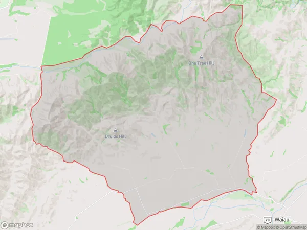
98 people live in Emu Plain, Canterbury, NZEmu Plain Suburb Area Map (Polygon)
Emu Plain Introduction
Waiau, a small town in Canterbury, New Zealand, is located on State Highway 1 between Christchurch and Ashburton. It is known for its scenic surroundings, including the Emu Plain, a large area of farmland and wetlands that is home to a variety of bird species, including the endangered New Zealand Falcon. The town also has a historic railway station and a popular golf course.Region
Major City
Suburb Name
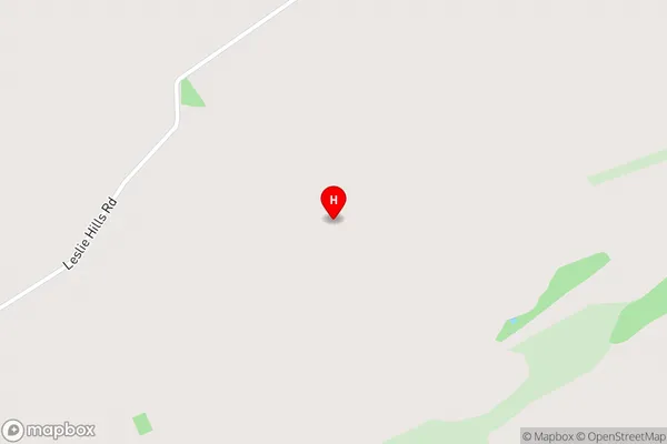
Emu PlainEmu Plain Area Map (Street)
Local Authority
Hurunui DistrictFull Address
Emu Plain, Hurunui District, New ZealandAddress Type
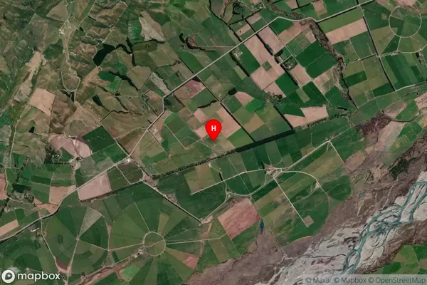
Locality in Major Locality WaiauEmu Plain Suburb Map (Satellite)
Country
Main Region in AU
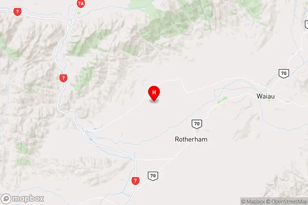
CanterburyEmu Plain Region Map
Coordinates
-42.661278,172.893 (latitude/longitude)Distances
The distance from Emu Plain, Waiau, Hurunui District to NZ Top 10 Cities