Leslie Hills Area, Leslie Hills Postcode & Map in Leslie Hills
Leslie Hills Area, Leslie Hills Postcode & Map in Leslie Hills, Hurunui District,
Leslie Hills, Hurunui District,
Leslie Hills Area (estimated)
114.5 square kilometersLeslie Hills Population (estimated)
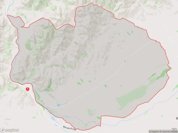
67 people live in Leslie Hills, Waiau, NZLeslie Hills Suburb Area Map (Polygon)
Leslie Hills Introduction
Leslie Hills is a rural community in Waiau, Canterbury, New Zealand. It is located 12 km south of Waiau and 105 km north of Christchurch. The area was first settled in the 1860s by Scottish settlers and is named after Leslie Hills, a Scottish landowner. The community has a primary school, a post office, and a church. The surrounding area is known for its farming and forestry, with sheep and beef farming being the main industries.Region
Major City
Suburb Name
Leslie HillsLeslie Hills Area Map (Street)
Local Authority
Hurunui DistrictFull Address
Leslie Hills, Hurunui District,Address Type
Locality in Major Locality WaiauLeslie Hills Suburb Map (Satellite)
Country
Main Region in AU
CanterburyLeslie Hills Region Map
Coordinates
0,0 (latitude/longitude)Distances
The distance from Leslie Hills, Waiau, Hurunui District to NZ Top 10 Cities