Waiau Area, Waiau Postcode(7332) & Map in Waiau
Waiau Area, Waiau Postcode(7332) & Map in Waiau, Hurunui District, New Zealand
Waiau, Hurunui District, New Zealand
Waiau Postcodes
Waiau Area (estimated)
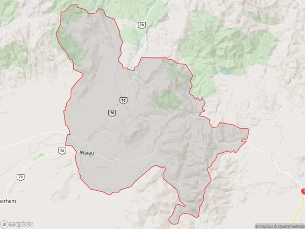
236.3 square kilometersWaiau Population (estimated)
470 people live in Waiau, Tuatapere Te Waewae Community, NZWaiau Suburb Area Map (Polygon)
Waiau Introduction
Waiau is a small town in Southland, New Zealand, located on the banks of the Waiau River. It is known for its scenic surroundings, including the Waiau Forest Park and the Waiau Beach. The town has a population of around 1,000 people and is a popular destination for outdoor enthusiasts and tourists.Region
Major City
Suburb Name
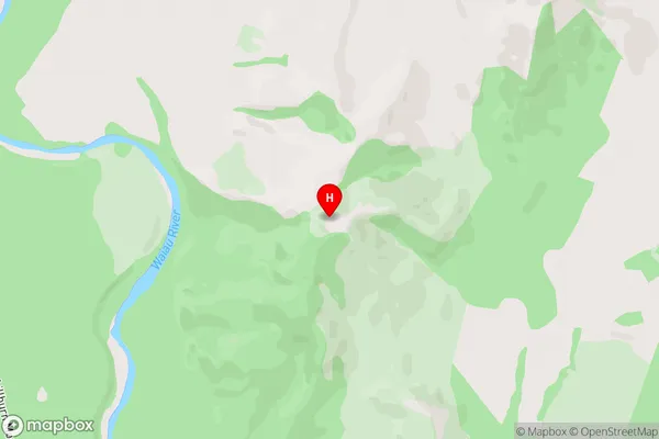
WaiauWaiau Area Map (Street)
Local Authority
Hurunui DistrictFull Address
Waiau, Hurunui District, New ZealandAddress Type
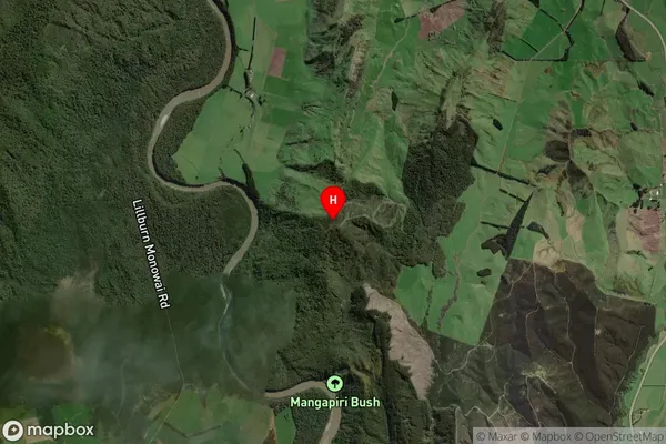
Suburb in Major Locality WaiauWaiau Suburb Map (Satellite)
Country
Main Region in AU
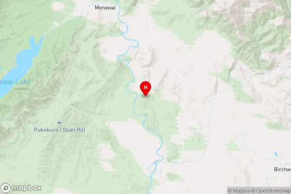
SouthlandWaiau Region Map
Coordinates
-45.87115,167.668375 (latitude/longitude)Distances
The distance from Waiau, Waiau, Hurunui District to NZ Top 10 Cities