Lyford Area, Lyford Postcode & Map in Lyford
Lyford Area, Lyford Postcode & Map in Lyford, Hurunui District, New Zealand
Lyford, Hurunui District, New Zealand
Lyford Area (estimated)
295.3 square kilometersLyford Population (estimated)
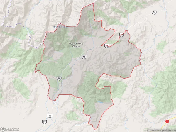
130 people live in Lyford, Canterbury, NZLyford Suburb Area Map (Polygon)
Lyford Introduction
Lyford, Waiau, Canterbury, New Zealand, is a small rural town located in the Waimakariri District of the Canterbury Region. It is known for its scenic beauty, including the Lyford Gorge, a popular hiking and skiing destination. The town has a population of around 1,000 people and is surrounded by farmland and forested hills.Region
Major City
Suburb Name
LyfordOther Name(s)
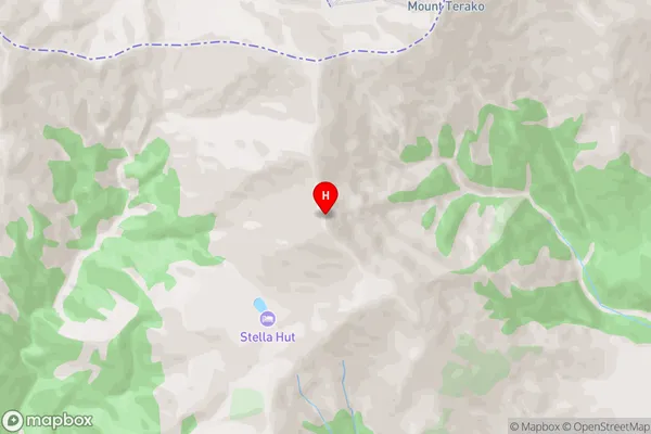
Mount Lyford Village, Mt Lyford VillageLyford Area Map (Street)
Local Authority
Hurunui DistrictFull Address
Lyford, Hurunui District, New ZealandAddress Type
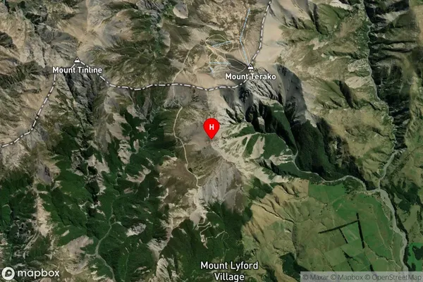
Locality in Major Locality WaiauLyford Suburb Map (Satellite)
Country
Main Region in AU
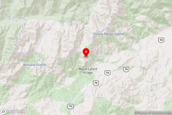
CanterburyLyford Region Map
Coordinates
-42.460417,173.144028 (latitude/longitude)Distances
The distance from Lyford, Waiau, Hurunui District to NZ Top 10 Cities