Upper Moutere Suburbs & Region, Upper Moutere Map & Postcodes in Upper Moutere, Tasman, Nelson & Bays
Upper Moutere Postcodes, Upper Moutere ZipCodes, Upper Moutere , Upper Moutere Tasman, Upper Moutere Suburbs, Upper Moutere Region, Upper Moutere Map, Upper Moutere Area
Upper Moutere Region (Harakeke, Prices Corner Region)
Upper Moutere Suburbs
Upper Moutere is a city place type in Tasman, Nelson & Bays, NZ. It contains 4 suburbs or localities.Upper Moutere Postcodes
Upper Moutere district
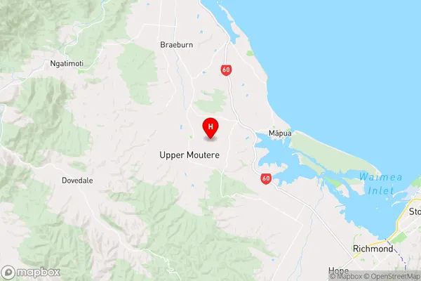
TasmanUpper Moutere Region Map
Upper Moutere Introduction
Upper Moutere is a small township on the Tasman Peninsula in New Zealand's South Island. It is located about 30 kilometers southeast of Nelson and 12 kilometers northwest of Golden Bay. The township is surrounded by stunning natural scenery, including the Moutere Hills, the Takaka Hill, and the Kahurangi National Park. Upper Moutere has a population of around 1,000 people and is known for its farming community, with many residents involved in sheep and dairy farming. The township also has a popular beach, known as Long Beach, which is a popular spot for swimming, surfing, and fishing.Upper Moutere Region
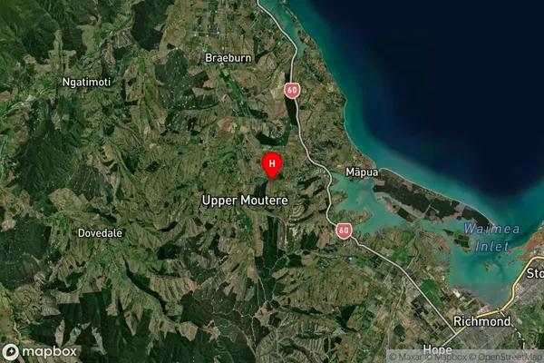
Upper Moutere Satellite Map
Full Address
Upper Moutere, Tasman, Nelson & BaysUpper Moutere Coordinates
-41.258635,173.028155 (Latitude / Longitude)Upper Moutere Map in NZ
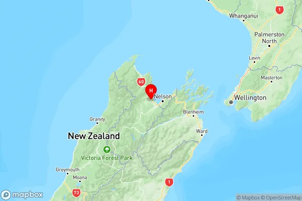
NZ Island
South IslandCountry
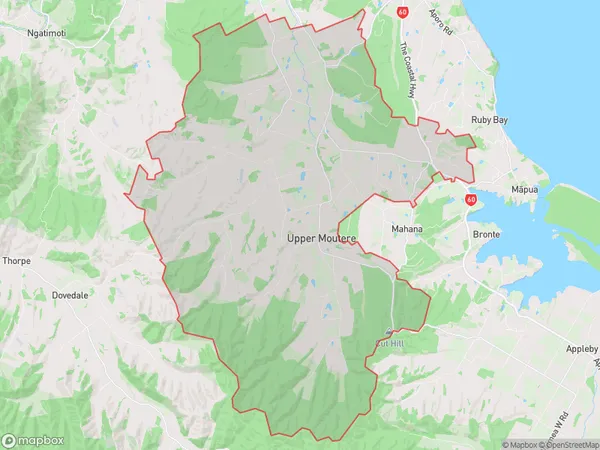
Upper Moutere Area Map (Polygon)
Name
Upper MoutereAdditional Name
Harakeke, Prices CornerLocal Authority
Tasman District
Upper Moutere Suburbs (Sort by Population)
Upper Moutere
Upper Moutere - 2120Tasman
Tasman - 1364Mahana
Mahana - 298Bronte
Bronte - 173