Mahana Area, Mahana Postcode(7173) & Map in Mahana
Mahana Area, Mahana Postcode(7173) & Map in Mahana, Tasman District, New Zealand
Mahana, Tasman District, New Zealand
Mahana Postcodes
Mahana Area (estimated)
11.3 square kilometersMahana Population (estimated)
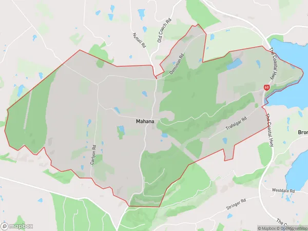
298 people live in Mahana, Tasman, NZMahana Suburb Area Map (Polygon)
Mahana Introduction
Mahana is a small rural community located in the Upper Moutere area of Tasman, New Zealand. It is known for its scenic surroundings, including the Mahana Beach and the Mahana Scenic Reserve. The community has a population of around 200 people and is surrounded by farmland and native forest. Mahana is a popular destination for outdoor enthusiasts, with many opportunities for hiking, cycling, and fishing. The area also has a rich cultural heritage, with a historic church and a community hall that hosts regular events and gatherings.Region
Major City
Suburb Name
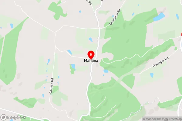
MahanaMahana Area Map (Street)
Local Authority
Tasman DistrictFull Address
Mahana, Tasman District, New ZealandAddress Type
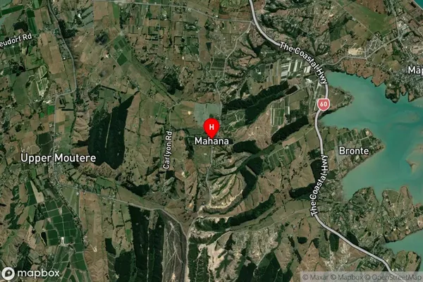
Locality in Town Upper MoutereMahana Suburb Map (Satellite)
Country
Main Region in AU
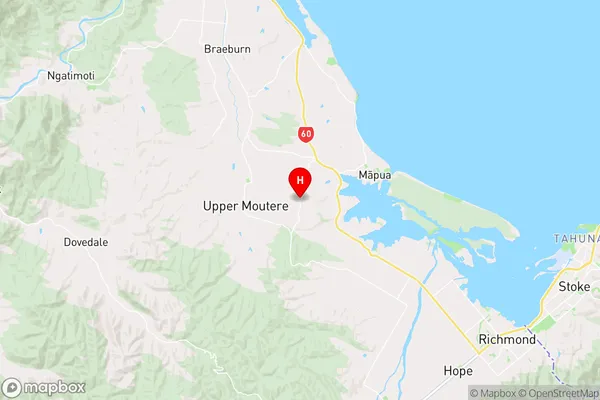
TasmanMahana Region Map
Coordinates
-41.2661862,173.0448719 (latitude/longitude)Distances
The distance from Mahana, Upper Moutere, Tasman District to NZ Top 10 Cities