Upper Moutere Area, Upper Moutere Postcode(7175) & Map in Upper Moutere
Upper Moutere Area, Upper Moutere Postcode(7175) & Map in Upper Moutere, Tasman District, New Zealand
Upper Moutere, Tasman District, New Zealand
Upper Moutere Area (estimated)
136.1 square kilometersUpper Moutere Population (estimated)
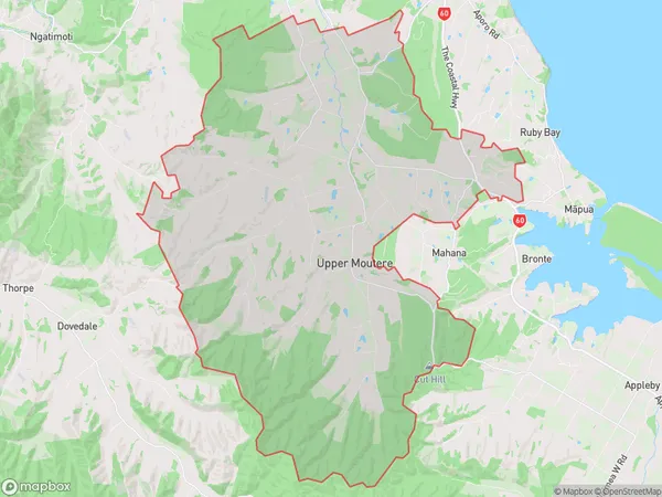
2120 people live in Upper Moutere, Tasman, NZUpper Moutere Suburb Area Map (Polygon)
Upper Moutere Introduction
Upper Moutere is a small township on the Tasman Peninsula in New Zealand. It is known for its scenic coastline, lush green valleys, and picturesque farmland. The area is popular with outdoor enthusiasts, who enjoy activities such as hiking, fishing, and surfing. The township also has a historic church and a community hall, and is home to a small population of around 100 people.Region
Major City
Suburb Name
Upper MoutereOther Name(s)
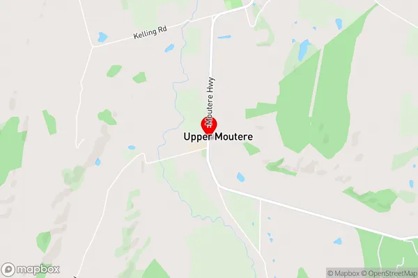
Harakeke, Prices CornerUpper Moutere Area Map (Street)
Local Authority
Tasman DistrictFull Address
Upper Moutere, Tasman District, New ZealandAddress Type
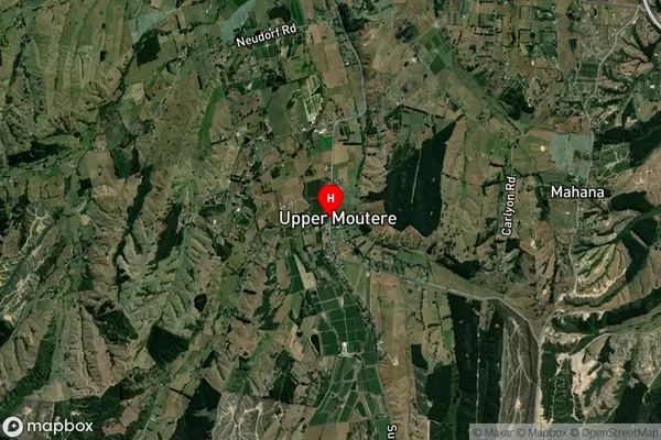
Locality in Town Upper MoutereUpper Moutere Suburb Map (Satellite)
Country
Main Region in AU
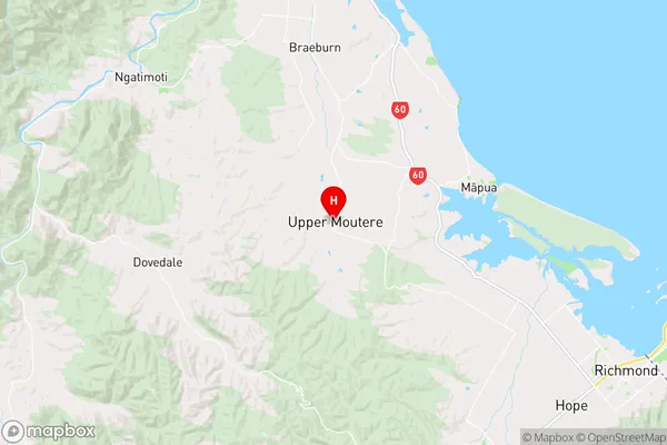
TasmanUpper Moutere Region Map
Coordinates
-41.269478,173.0064178 (latitude/longitude)Distances
The distance from Upper Moutere, Upper Moutere, Tasman District to NZ Top 10 Cities