Bronte Area, Bronte Postcode(7005) & Map in Bronte
Bronte Area, Bronte Postcode(7005) & Map in Bronte, Tasman District, New Zealand
Bronte, Tasman District, New Zealand
Bronte Postcodes
Bronte Area (estimated)
3.1 square kilometersBronte Population (estimated)
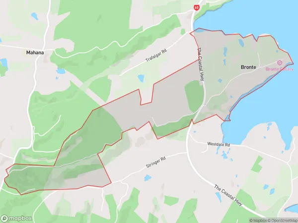
173 people live in Bronte, Tasman, NZBronte Suburb Area Map (Polygon)
Bronte Introduction
'Bronte' is a small rural community located in the Upper Moutere Valley of Tasman District, New Zealand. It is known for its picturesque scenery, including the Bronte Peak mountain range and the surrounding farmland. The community has a population of around 100 people and is surrounded by stunning natural beauty. The area is popular with outdoor enthusiasts and nature lovers, who enjoy hiking, mountain biking, and fishing in the nearby rivers and lakes.Region
Major City
Suburb Name
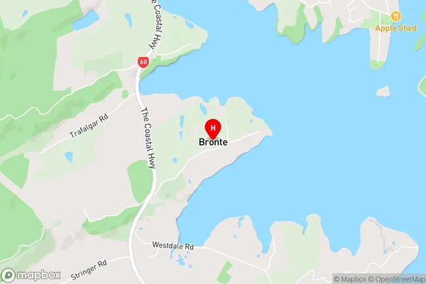
BronteBronte Area Map (Street)
Local Authority
Tasman DistrictFull Address
Bronte, Tasman District, New ZealandAddress Type
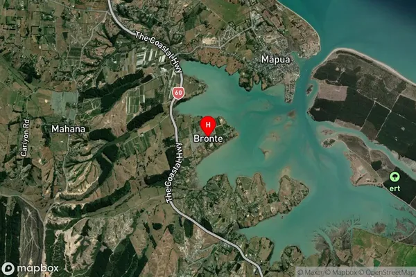
Locality in Town Upper MoutereBronte Suburb Map (Satellite)
Country
Main Region in AU
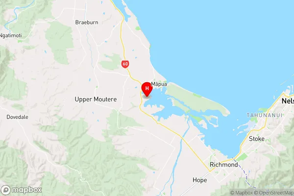
TasmanBronte Region Map
Coordinates
-41.267968,173.079493 (latitude/longitude)Distances
The distance from Bronte, Upper Moutere, Tasman District to NZ Top 10 Cities