Wellington Suburbs & Region, Wellington Map & Postcodes in Wellington City, Wellington
Wellington Postcodes, Wellington ZipCodes, Wellington , Wellington Wellington, Wellington Suburbs, Wellington Region, Wellington Map, Wellington Area
Wellington Region
Wellington Suburbs
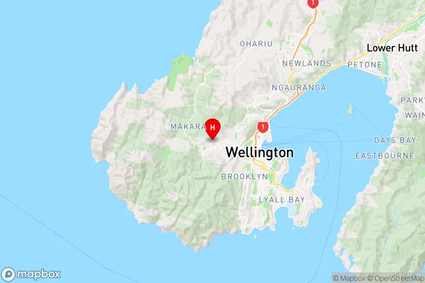
Wellington is a city place type in Wellington City, Wellington, NZ. It contains 53 suburbs or localities.Wellington Region Map
Wellington Introduction
Wellington, also known as Te Whanganui-a-Tara, is the capital city of New Zealand and the second most populous city in the country. It is located on the southern shore of the North Island, between Cook Strait and the Rimutaka Range. Wellington is known for its vibrant culture, history, and natural beauty. It is home to numerous museums, galleries, and theaters, including the National Library of New Zealand and the Museum of New Zealand Te Papa Tongarewa. The city is also surrounded by stunning parks and gardens, including the Wellington Botanic Garden and the Taita Gorge Reserve. Wellington is a popular destination for tourists and has been named the world's most liveable city multiple times.Wellington Region
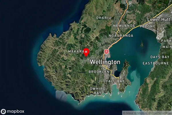
Wellington Satellite Map
Full Address
Wellington City, WellingtonWellington Coordinates
-41.2809024,174.7315563 (Latitude / Longitude)Wellington Map in NZ
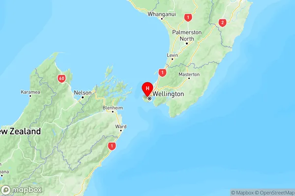
NZ Island
North IslandCountry
Wellington Suburbs (Sort by Population)
Wellington Suburbs (Sort in alphabetical)
Aro Valley
Berhampore
Breaker Bay
Broadmeadows
Brooklyn
Churton Park
Crofton Downs
Glenside
Grenada North
Grenada Village
Hataitai
Highbury
Horokiwi
Houghton Bay
Island Bay
Johnsonville
Kaiwharawhara
Karaka Bays
Karori
Kelburn
Khandallah
Kilbirnie
Kingston
Lyall Bay
Makara
Maupuia
Melrose
Miramar
Mornington
Mount Cook
Mount Victoria
Newlands
Newtown
Ngaio
Ngauranga
Northland
Ohariu
Oriental Bay
Owhiro Bay
Paparangi
Rongotai
Roseneath
Seatoun
Southgate
Strathmore Park
Tawa
Te Aro
Thorndon
Vogeltown
Wadestown
Wellington Central
Wilton
Woodridge