Rongotai Suburbs & Region, Rongotai Map & Postcodes in Rongotai, Wellington City, Wellington
Rongotai Postcodes, Rongotai ZipCodes, Rongotai , Rongotai Wellington, Rongotai Suburbs, Rongotai Region, Rongotai Map, Rongotai Area
Rongotai Region
Rongotai Suburbs
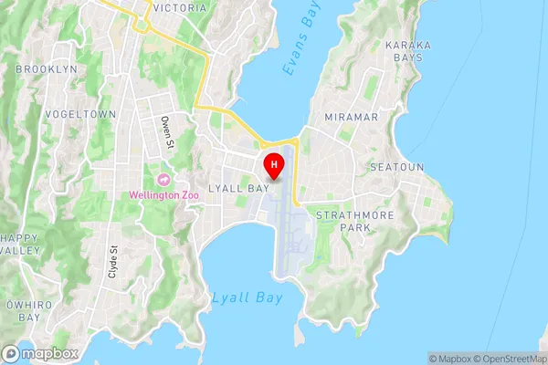
Rongotai is a suburb place type in Wellington City, Wellington, NZ. It contains 0 suburbs or localities.Rongotai Region Map

Rongotai Introduction
Rongotai is a suburb of Wellington, New Zealand, located on the southern shore of Wellington Harbour. It is known for its historic significance as the site of the first settlement of Wellington, and for its picturesque coastal location. Rongotai is home to a number of important historical sites, including the Rongotai College, the first secondary school in Wellington, and the Rongotai Historic Reserve, which includes the remains of the first European settlement in Wellington. The suburb is also home to a large number of government buildings, including the Ministry of Foreign Affairs and Trade and the New Zealand Parliament. Rongotai is a popular residential area, with a mix of older character homes and modern apartment buildings. It is well-connected to the city center by public transport, and is surrounded by a number of parks and recreational facilities.Rongotai Region
Rongotai City
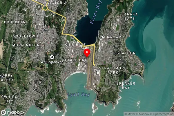
Rongotai Satellite Map

Full Address
Rongotai, Wellington City, WellingtonRongotai Coordinates
-41.322554,174.805165 (Latitude / Longitude)Rongotai Map in NZ

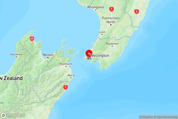
NZ Island
North IslandCountry
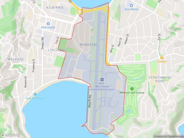
Rongotai Area Map (Polygon)

Name
RongotaiAdditional Name
Local Authority
Wellington City
Rongotai Suburbs (Sort by Population)
Rongotai suburb has around
1.8 square
kilometers.There are more than 907 people (estimated)
live in Rongotai, Wellington, Wellington, New Zealand.