Hataitai Suburbs & Region, Hataitai Map & Postcodes in Hataitai, Wellington City, Wellington
Hataitai Postcodes, Hataitai ZipCodes, Hataitai , Hataitai Wellington, Hataitai Suburbs, Hataitai Region, Hataitai Map, Hataitai Area
Hataitai Region
Hataitai Suburbs
Hataitai is a suburb place type in Wellington City, Wellington, NZ. It contains 0 suburbs or localities.Hataitai Postcodes
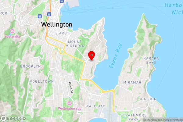
Hataitai Region Map

Hataitai Introduction
Hataitai is a suburb of Wellington, New Zealand, located on the southern coast of the North Island. It is known for its vibrant community, beautiful beaches, and proximity to the city center. The suburb has a rich history and was once home to the Maori people. Hataitai is home to a variety of shops, restaurants, and cafes, as well as a community center and library. The area is popular with families and young professionals, and is known for its relaxed and laid-back atmosphere. Hataitai Beach is a popular spot for swimming, sunbathing, and surfing, and is surrounded by lush green parks and gardens. The suburb is also home to a number of historic buildings, including the Hataitai Bowling Club and the Hataitai Park Hotel.Hataitai Region
Hataitai City
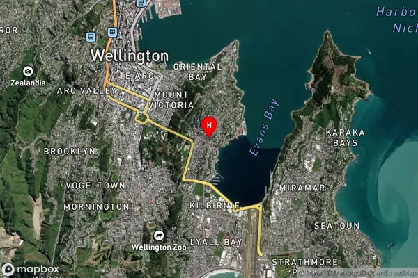
Hataitai Satellite Map

Full Address
Hataitai, Wellington City, WellingtonHataitai Coordinates
-41.304278,174.79678 (Latitude / Longitude)Hataitai Map in NZ

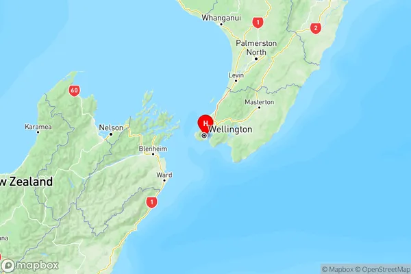
NZ Island
North IslandCountry
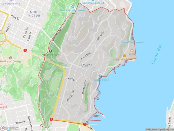
Hataitai Area Map (Polygon)

Name
HataitaiAdditional Name
Local Authority
Wellington City
Hataitai Suburbs (Sort by Population)
Hataitai suburb has around
2.3 square
kilometers.There are more than 6747 people (estimated)
live in Hataitai, Wellington, Wellington, New Zealand.