Ngaio Suburbs & Region, Ngaio Map & Postcodes in Ngaio, Wellington City, Wellington
Ngaio Postcodes, Ngaio ZipCodes, Ngaio , Ngaio Wellington, Ngaio Suburbs, Ngaio Region, Ngaio Map, Ngaio Area
Ngaio Region
Ngaio Suburbs
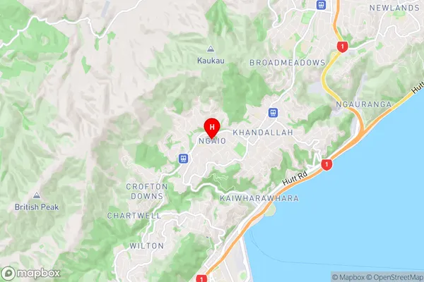
Ngaio is a suburb place type in Wellington City, Wellington, NZ. It contains 0 suburbs or localities.Ngaio Region Map
Ngaio Introduction
Ngaio is a suburb of Wellington, New Zealand, located in the northern part of the city. It is known for its lush green parks, tree-lined streets, and charming homes. The area has a rich history and was once home to the Ngai Tahu tribe. Ngaio is popular with families and young professionals due to its convenient location, excellent schools, and variety of recreational facilities. It is also home to the Ngaio Marsh, a large wetland area that is a haven for wildlife. The suburb has a vibrant community spirit and hosts numerous events and festivals throughout the year, including the Ngaio Festival of the Arts and the Ngaio Classic Car Show.Ngaio Region
Ngaio City
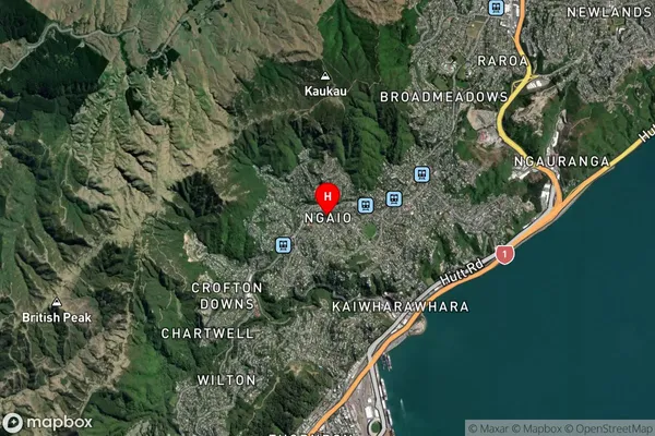
Ngaio Satellite Map
Full Address
Ngaio, Wellington City, WellingtonNgaio Coordinates
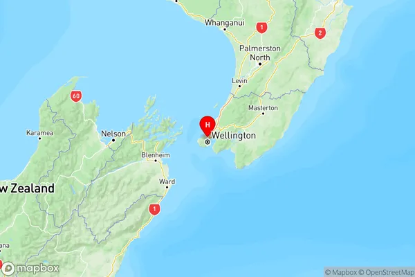
-41.248285,174.778291 (Latitude / Longitude)Ngaio Map in NZ
NZ Island
North IslandCountry
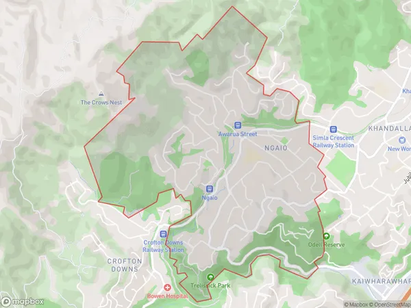
Ngaio Area Map (Polygon)
Name
NgaioAdditional Name
Local Authority
Wellington City
Ngaio Suburbs (Sort by Population)
Ngaio suburb has around
3.8 square
kilometers.There are more than 5717 people (estimated)
live in Ngaio, Wellington, Wellington, New Zealand.