Ngaio Area, Ngaio Postcode(6441) & Map in Ngaio
Ngaio Area, Ngaio Postcode(6441) & Map in Ngaio, Wellington City, New Zealand
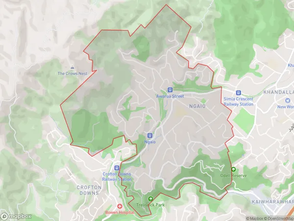
Ngaio, Wellington City, New Zealand
Ngaio Area (estimated)
3.8 square kilometersNgaio Population (estimated)
5717 people live in Ngaio, Wellington, NZNgaio Suburb Area Map (Polygon)
Ngaio Introduction
Ngaio is a suburb in Wellington, New Zealand, located in the northern part of the city. It is known for its lush green parks, such as Ngaio Bush and Tawa Park, and its peaceful atmosphere. The suburb is home to a variety of housing types, including apartments, townhouses, and single-family homes. It is also well-connected to the city center by public transportation, with several bus routes and a train station nearby. Ngaio is a popular destination for families and professionals alike, with a variety of shops, restaurants, and recreational facilities.Region
Major City
Suburb Name
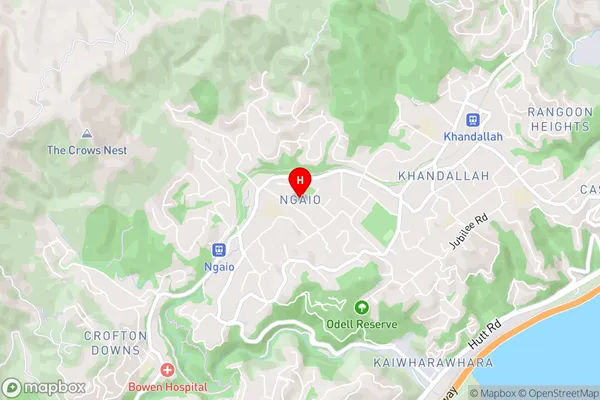
NgaioNgaio Area Map (Street)
Local Authority
Wellington CityFull Address
Ngaio, Wellington City, New ZealandAddress Type
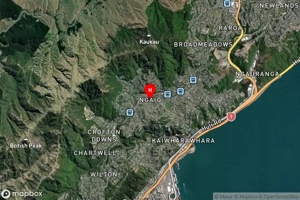
Suburb in City WellingtonNgaio Suburb Map (Satellite)
Country
Main Region in AU
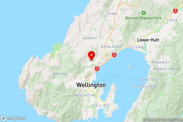
WellingtonNgaio Region Map
Coordinates
-41.2482852,174.778291 (latitude/longitude)Distances
The distance from Ngaio, Wellington, Wellington City to NZ Top 10 Cities