Ohariu Suburbs & Region, Ohariu Map & Postcodes in Ohariu, Wellington City, Wellington
Ohariu Postcodes, Ohariu ZipCodes, Ohariu , Ohariu Wellington, Ohariu Suburbs, Ohariu Region, Ohariu Map, Ohariu Area
Ohariu Region (Ohariu Valley Region)
Ohariu Suburbs
Ohariu is a suburb place type in Wellington City, Wellington, NZ. It contains 0 suburbs or localities.Ohariu Postcodes
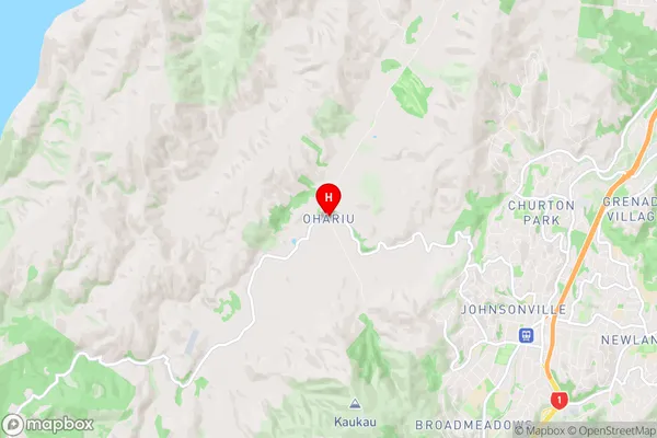
Ohariu Region Map

Ohariu Introduction
Ohariu is a suburb of Wellington, New Zealand, located on the southern shore of the island. It is known for its picturesque beaches, tranquil parks, and vibrant community. The area has a rich history, with several historic buildings and landmarks, including the Ohariu Valley Railway and the Ohariu Farm Park. Ohariu is a popular destination for outdoor enthusiasts, with numerous walking and cycling trails, and is close to several golf courses and wineries. The suburb has a strong sense of community, with several local events and festivals held throughout the year, including the Ohariu Festival of Lights and the Ohariu Spring Festival.Ohariu Region
Ohariu City
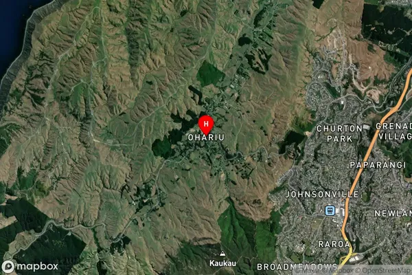
Ohariu Satellite Map

Full Address
Ohariu, Wellington City, WellingtonOhariu Coordinates
-41.209641,174.773806 (Latitude / Longitude)Ohariu Map in NZ

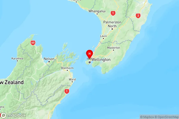
NZ Island
North IslandCountry
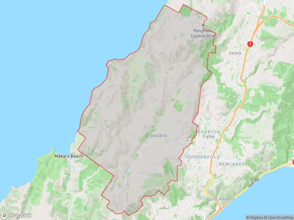
Ohariu Area Map (Polygon)

Name
OhariuAdditional Name
Ohariu ValleyLocal Authority
Wellington City
Ohariu Suburbs (Sort by Population)
Ohariu also known as Ohariu Valley. Ohariu suburb has around
63.7 square
kilometers.There are more than 384 people (estimated)
live in Ohariu, Wellington, Wellington, New Zealand.