Paraparaumu Suburbs & Region, Paraparaumu Map & Postcodes in Paraparaumu, Kapiti Coast, Wellington
Paraparaumu Postcodes, Paraparaumu ZipCodes, Paraparaumu , Paraparaumu Wellington, Paraparaumu Suburbs, Paraparaumu Region, Paraparaumu Map, Paraparaumu Area
Paraparaumu Region (Queen Elizabeth Park, Raumati Region)
Paraparaumu Suburbs
Paraparaumu is a city place type in Kapiti Coast, Wellington, NZ. It contains 7 suburbs or localities.Paraparaumu district
Kapiti CoastParaparaumu Introduction
Paraparaumu is a small town located in the southern part of the Wellington region of New Zealand. It is known for its beautiful beaches, coastal walks, and vibrant community. The town has a population of around 30,000 people and is situated between the Kapiti Coast and the Horowhenua District. Paraparaumu Beach is a popular destination for swimmers, surfers, and beachgoers, and it is home to a large number of bird species, including the rare takahe. The town also has a number of parks and recreational facilities, including a golf course, a sports stadium, and a library.Paraparaumu Region
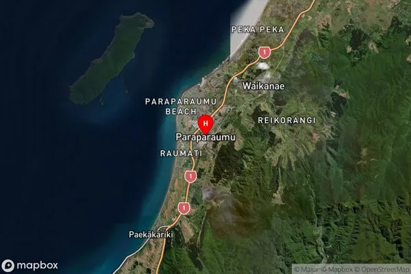
Paraparaumu Satellite Map

Full Address
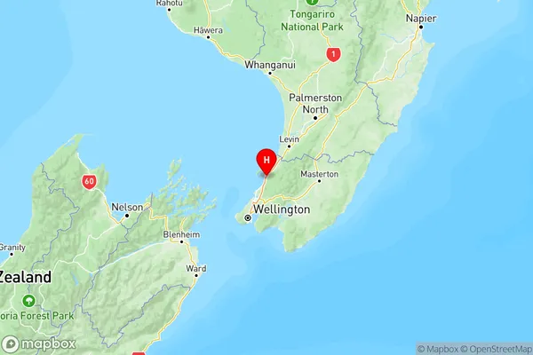
Paraparaumu, Kapiti Coast, WellingtonParaparaumu Coordinates
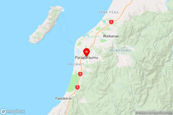
-40.914464,175.006196 (Latitude / Longitude)Paraparaumu Map in NZ

NZ Island
North IslandCountry
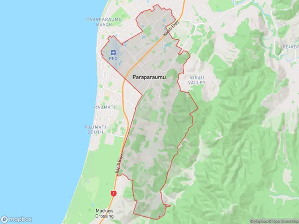
Paraparaumu Area Map (Polygon)

Name
ParaparaumuAdditional Name
Queen Elizabeth Park, RaumatiLocal Authority
Kapiti Coast District
Paraparaumu Suburbs (Sort by Population)
Paraparaumu
Paraparaumu - 10417Paraparaumu Beach
Paraparaumu Beach - 9753Raumati Beach
Raumati Beach - 5414Raumati South
Raumati South - 4068Otaihanga
Otaihanga - 1030Nikau Valley
Nikau Valley - 368Maungakotukutuku
Maungakotukutuku - 27
