Paraparaumu Area, Paraparaumu Postcode(5032) & Map in Paraparaumu
Paraparaumu Area, Paraparaumu Postcode(5032) & Map in Paraparaumu, Kapiti Coast District, New Zealand
Paraparaumu, Kapiti Coast District, New Zealand
Paraparaumu Area (estimated)
26.7 square kilometersParaparaumu Population (estimated)
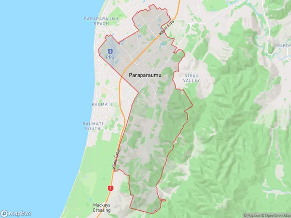
10417 people live in Paraparaumu, Wellington, NZParaparaumu Suburb Area Map (Polygon)
Paraparaumu Introduction
Paraparaumu is a small town on the Kapiti Coast of New Zealand, located 35 kilometers north of Wellington. It is known for its beach, cafes, and scenic views of the surrounding area. The town has a population of around 30,000 people and is a popular destination for tourists and locals alike. Paraparaumu Beach is a popular spot for swimming, surfing, and beach volleyball, and the town also has a golf course and a variety of shops and restaurants.Region
Major City
Suburb Name
ParaparaumuOther Name(s)
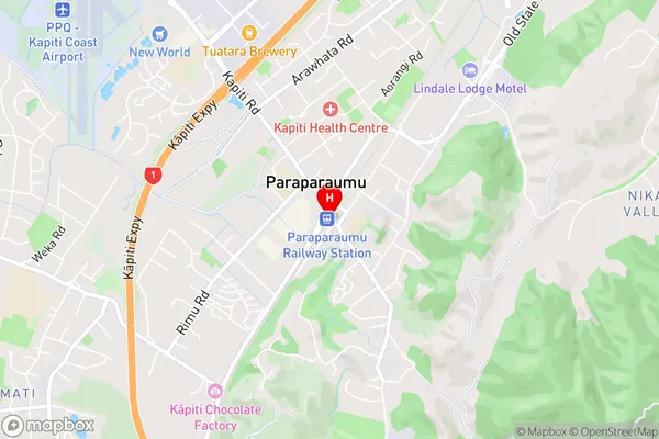
Queen Elizabeth Park, RaumatiParaparaumu Area Map (Street)
Local Authority
Kapiti Coast DistrictFull Address
Paraparaumu, Kapiti Coast District, New ZealandAddress Type
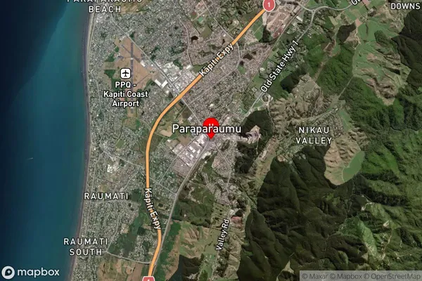
Suburb in Town ParaparaumuParaparaumu Suburb Map (Satellite)
Country
Main Region in AU
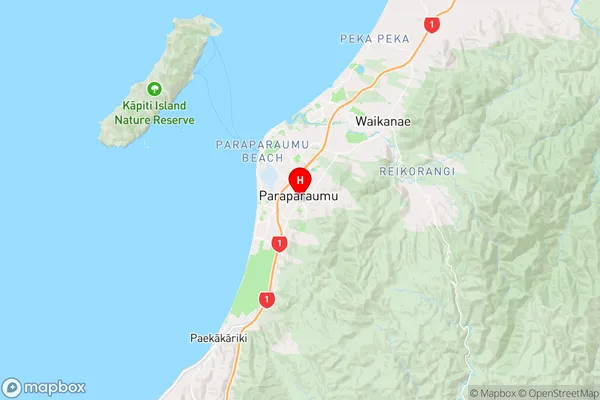
WellingtonParaparaumu Region Map
Coordinates
-40.9166638,175.0072663 (latitude/longitude)Distances
The distance from Paraparaumu, Paraparaumu, Kapiti Coast District to NZ Top 10 Cities