Raumati South Area, Raumati South Postcode(5032) & Map in Raumati South
Raumati South Area, Raumati South Postcode(5032) & Map in Raumati South, Kapiti Coast District, New Zealand
Raumati South, Kapiti Coast District, New Zealand
Raumati South Postcodes
Raumati South Area (estimated)
5.5 square kilometersRaumati South Population (estimated)
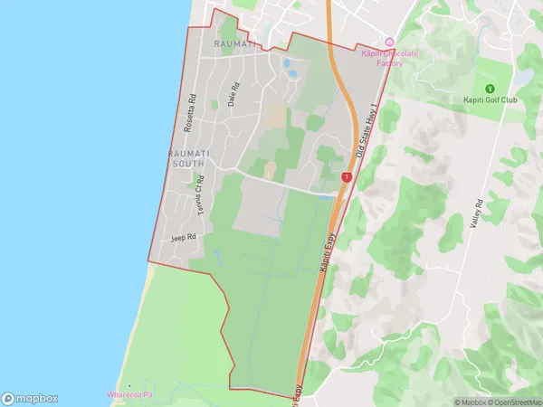
4068 people live in Raumati South, Wellington, NZRaumati South Suburb Area Map (Polygon)
Raumati South Introduction
Raumati South is a suburban area in Paraparaumu, Wellington, New Zealand. It is located on the southern coast of the Kapiti Coast and is known for its beautiful beaches, scenic views, and relaxed atmosphere. The area has a population of around 10,000 people and is home to a variety of residential properties, including apartments, houses, and vacation rentals. Raumati South is also home to a number of businesses, including cafes, restaurants, and retail stores. The area is well-connected to other parts of Wellington via public transportation, and is only a short drive from the city center.Region
Major City
Suburb Name
Raumati SouthOther Name(s)
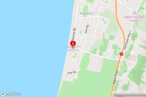
Kapiti, Queen Elizabeth ParkRaumati South Area Map (Street)
Local Authority
Kapiti Coast DistrictFull Address
Raumati South, Kapiti Coast District, New ZealandAddress Type
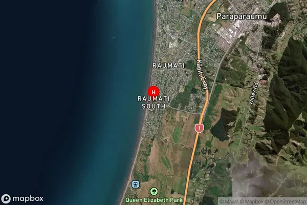
Suburb in Town ParaparaumuRaumati South Suburb Map (Satellite)
Country
Main Region in AU
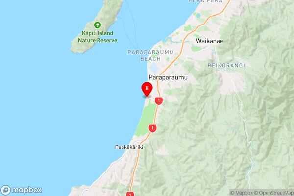
WellingtonRaumati South Region Map
Coordinates
-40.9363059,174.9766491 (latitude/longitude)Distances
The distance from Raumati South, Paraparaumu, Kapiti Coast District to NZ Top 10 Cities